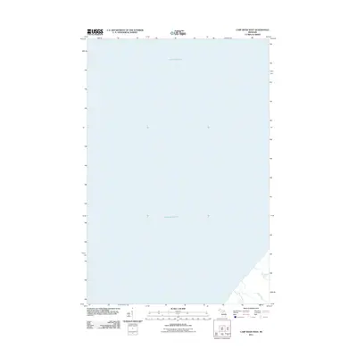
2011 Map of Carp River West
USGS Topo · Published 2011About this map
Lake Superior dominates this coastal survey, where the rugged southern shoreline of the Upper Peninsula meets the world's largest freshwater lake. The landscape is defined by the hydrologic network of Ontonagon County, specifically where the Carp River and Little Carp River reach their destination. These waterways transition from the elevated terrain of the interior through a series of drops, including Bathtub Falls and Traders Falls, before emptying into the lake. This 2011 documentation provides a precise look at the drainage patterns of the area, including the path of Toledo Creek as it winds through the coastal woods. The absence of major settlements on this sheet highlights the wilderness character of this stretch of the Michigan coast, where the primary features are the natural interactions between the land's elevation and its significant river systems.
Find a feature on this map
6 named features on this map. Tap any name to fly to it.
Don’t see what you’re looking for? This feature index may not catch every label — zoom into the map to look around manually.
Map Details
Editions of this 2011 Carp River West Map
This is the sole edition of this map. No revisions or reprints were ever made.
Other maps of this area

1953 · Ashland
USGS Topo · 1:250,000

1956 · Carp River
USGS Topo · 1:62,500

1956 · North Ironwood
USGS Topo · 1:62,500

1956 · Thomaston
USGS Topo · 1:62,500

1958 · Ashland
USGS Topo · 1:250,000

1958 · Iron River
USGS Topo · 1:250,000

1960 · Iron River
USGS Topo · 1:250,000

1961 · Iron River
USGS Topo · 1:250,000

1967 · Iron River
USGS Topo · 1:250,000

1979 · Ontonagon
USGS Topo · 1:100,000