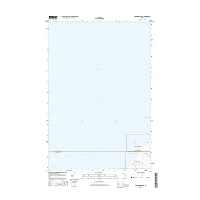
2014 Map of Carp River West
USGS Topo · Published 2014About this map
Lake Superior dominates the northern expanse of this coastal Michigan survey, where the rugged shoreline meets the southern reaches of the lake. The landscape is defined by the drainage of the Carp River, which cuts through the southeastern corner of the quadrangle. This area preserves a primitive terrain where elevation changes create notable water features, including Bathtub Falls and Traders Falls located near the river's path.
Find a feature on this map
16 named features on this map. Tap any name to fly to it.
Don’t see what you’re looking for? This feature index may not catch every label — zoom into the map to look around manually.
Map Details
Editions of this 2014 Carp River West Map
This is the sole edition of this map. No revisions or reprints were ever made.
Other maps of this area

1953 · Ashland
USGS Topo · 1:250,000

1956 · Carp River
USGS Topo · 1:62,500

1956 · North Ironwood
USGS Topo · 1:62,500

1956 · Thomaston
USGS Topo · 1:62,500

1958 · Ashland
USGS Topo · 1:250,000

1958 · Iron River
USGS Topo · 1:250,000

1960 · Iron River
USGS Topo · 1:250,000

1961 · Iron River
USGS Topo · 1:250,000

1967 · Iron River
USGS Topo · 1:250,000

1979 · Ontonagon
USGS Topo · 1:100,000