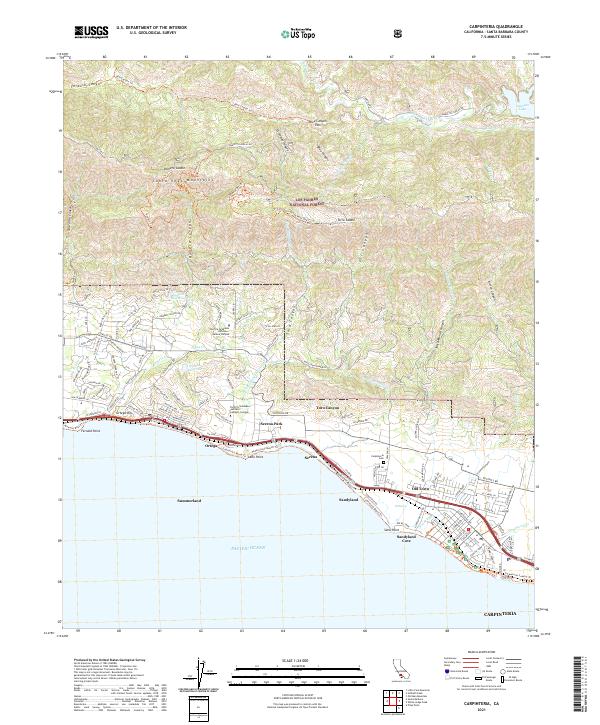
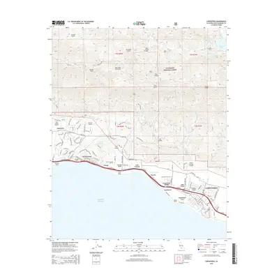
2021 Map of Carpinteria
USGS Topo · Published 2021About this map
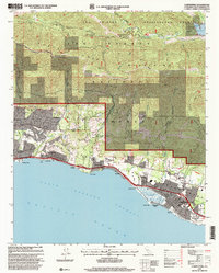
Carpinteria and its coastal neighbors are detailed here at a moment of significant 21st-century residential and institutional development. The map illustrates the narrow coastal shelf where the Union Pacific railroad and major roadways parallel the shoreline, connecting settlements like Summerland, Serena, and Sandyland. This area is defined by the steep rise of the Santa Ynez Mountains, where the landscape transitions abruptly from suburban streets to the protected acreage of the Los Padres National Forest.
Find a feature on this map
104 named features on this map. Tap any name to fly to it.
Don’t see what you’re looking for? This feature index may not catch every label — zoom into the map to look around manually.
Map Details
Editions of this 2021 Carpinteria Map
This is the sole edition of this map. No revisions or reprints were ever made.
Historical Maps of Carpinteria Through Time
10 maps found
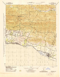
1944 Carpinteria
Santa Barbara County, CA
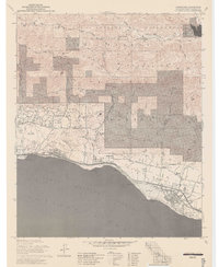
1952 Carpinteria
Santa Barbara County, CA
1976 Carpinteria
Santa Barbara County, CA
1977 Carpinteria
Santa Barbara County, CA
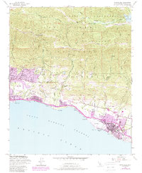
1980 Carpinteria
Santa Barbara County, CA
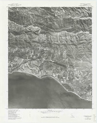
1995 Carpinteria
Santa Barbara County, CA
2012 Carpinteria
Santa Barbara County, CA
2015 Carpinteria
Santa Barbara County, CA
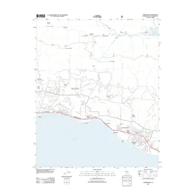
2018 Carpinteria
Santa Barbara County, CA
2021 Carpinteria
Santa Barbara County, CA