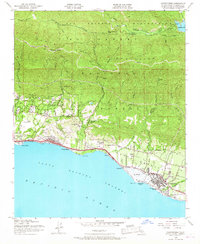
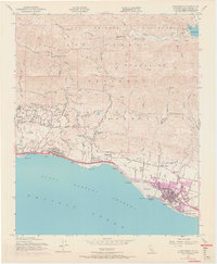
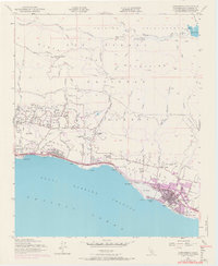
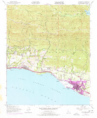
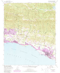
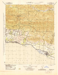
1952 Map of Carpinteria
USGS Topo · Published 1967About this map
The coastal shelf of southeastern Santa Barbara County meets the steep ascent of the Santa Ynez Mountains in this early 1950s record of the California coast. The landscape is defined by the proximity of the Pacific Ocean to the rugged interior, with the Southern Pacific railroad and Via Real tracing the narrow corridor between the surf and the foothills. At Summerland, several Oil Wells are noted just offshore, reflecting the area's early energy development.
Find a feature on this map
49 named features on this map. Tap any name to fly to it.
Don’t see what you’re looking for? This feature index may not catch every label — zoom into the map to look around manually.
Map Details
Editions of this 1952 Carpinteria Map
8 editions found
Other maps of this area

1902 · Santa Ynez
USGS Topo · 1:125,000

1903 · Mt. Pinos
USGS Topo · 1:125,000

1904 · Ventura
USGS Topo · 1:62,500

1905 · Santa Ynez
USGS Topo · 1:125,000

1941 · Ventura
USGS Topo · 1:62,500

1942 · Little Pine Mountain
USGS Topo · 1:24,000

1943 · Old Man Mountain
USGS Topo · 1:24,000

1943 · Hildreth Peak
USGS Topo · 1:24,000

1944 · Santa Barbara
USGS Topo · 1:31,680
1944 · Carpinteria
USGS Topo · 1:31,680