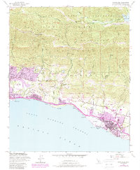
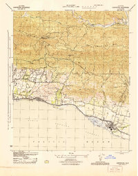
1952 Map of Carpinteria
USGS Topo · Published 1989About this map
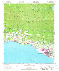
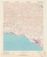
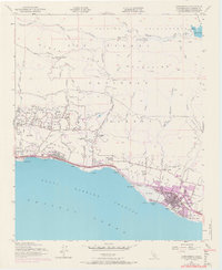
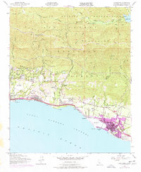
The Santa Ynez Mountains dominate the northern landscape of this coastal quadrangle, where steep canyons like San Ysidro Canyon and Romero Canyon descend toward the Santa Barbara Channel. The narrow coastal strip shows the post-war growth of Carpinteria and Montecito, with residential expansion indicated by purple revisions from the 1980s. Transportation and industry are centered along the shore, where the Southern Pacific railroad runs parallel to the beach, passing the salt marsh at El Estero and the cluster of Oil Wells near Summerland. To the east, El Rincon (Arellanes) marks the coastal boundary near Casitas Creek. High-elevation landmarks such as Romero Saddle and Blue Canyon Pass provide a view of the remote northern interior, including Jameson Lake and the headwaters of the Santa Ynez River within the Los Padres National Forest.
Find a feature on this map
56 named features on this map. Tap any name to fly to it.
Don’t see what you’re looking for? This feature index may not catch every label — zoom into the map to look around manually.
Map Details
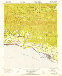
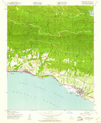
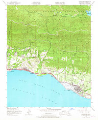
Editions of this 1952 Carpinteria Map
8 editions found
Other maps of this area

1902 · Santa Ynez
USGS Topo · 1:125,000

1903 · Mt. Pinos
USGS Topo · 1:125,000

1904 · Ventura
USGS Topo · 1:62,500

1905 · Santa Ynez
USGS Topo · 1:125,000

1941 · Ventura
USGS Topo · 1:62,500

1942 · Little Pine Mountain
USGS Topo · 1:24,000

1943 · Old Man Mountain
USGS Topo · 1:24,000

1943 · Hildreth Peak
USGS Topo · 1:24,000

1944 · Santa Barbara
USGS Topo · 1:31,680
1944 · Carpinteria
USGS Topo · 1:31,680