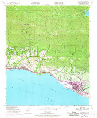
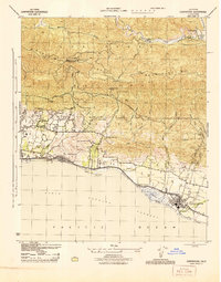
1952 Map of Carpinteria
USGS Topo · Published 1968About this map
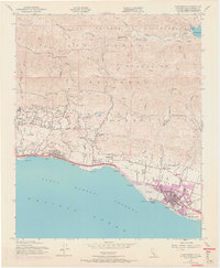
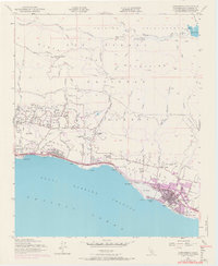
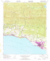
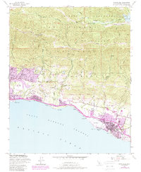
The Santa Ynez Mountains dominate this coastal landscape, where the ridges of the Los Padres National Forest descend sharply toward the Santa Barbara Channel. This 1952 culture revision reveals the coastal shelf's transition from agricultural and estate lands to expanding residential clusters, particularly around Summerland and Carpinteria. The infrastructure of the era is defined by the Southern Pacific railroad and the coastal highway, which trace the shoreline past Loon Point and Sandyland.
Find a feature on this map
57 named features on this map. Tap any name to fly to it.
Don’t see what you’re looking for? This feature index may not catch every label — zoom into the map to look around manually.
Map Details
Editions of this 1952 Carpinteria Map
8 editions found
Other maps of this area

1902 · Santa Ynez
USGS Topo · 1:125,000

1903 · Mt. Pinos
USGS Topo · 1:125,000

1904 · Ventura
USGS Topo · 1:62,500

1905 · Santa Ynez
USGS Topo · 1:125,000

1941 · Ventura
USGS Topo · 1:62,500

1942 · Little Pine Mountain
USGS Topo · 1:24,000

1943 · Old Man Mountain
USGS Topo · 1:24,000

1943 · Hildreth Peak
USGS Topo · 1:24,000

1944 · Santa Barbara
USGS Topo · 1:31,680
1944 · Carpinteria
USGS Topo · 1:31,680