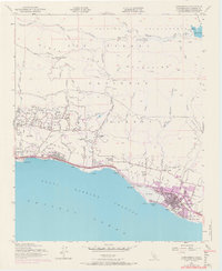
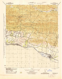
1952 Map of Carpinteria
USGS Topo · Published 1968About this map
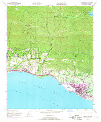
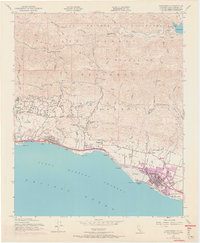
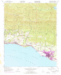
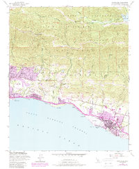
Pueblo Lands and the coastal settlements of Santa Barbara County are captured here at a moment of transition during the mid-20th century. The Southern Pacific railroad tracks hug the shoreline, connecting the residential and agricultural hubs of Montecito, Summerland, and Carpinteria. Evidence of the region’s evolving economy is visible through the Oil Wells at Ortega Hill and the Gravel Pit near Greenwell Ave. The presence of El Rincon (Arellanes) and the Carpinteria Cemetery provide specific points of interest for genealogists tracing local families. To the north, the terrain rises sharply into the Santa Ynez Mountains within the Los Padres National Forest. Here, the infrastructure for water management is documented by Jameson Lake, the Juncal Pumping Sta, and various water tanks along the Romero Road, highlighting the critical importance of mountain resources to the growing coastal communities below.
Find a feature on this map
67 named features on this map. Tap any name to fly to it.
Don’t see what you’re looking for? This feature index may not catch every label — zoom into the map to look around manually.
Map Details
Editions of this 1952 Carpinteria Map
8 editions found
Other maps of this area

1902 · Santa Ynez
USGS Topo · 1:125,000

1903 · Mt. Pinos
USGS Topo · 1:125,000

1904 · Ventura
USGS Topo · 1:62,500

1905 · Santa Ynez
USGS Topo · 1:125,000

1941 · Ventura
USGS Topo · 1:62,500

1942 · Little Pine Mountain
USGS Topo · 1:24,000

1943 · Old Man Mountain
USGS Topo · 1:24,000

1943 · Hildreth Peak
USGS Topo · 1:24,000

1944 · Santa Barbara
USGS Topo · 1:31,680
1944 · Carpinteria
USGS Topo · 1:31,680