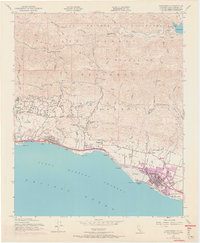
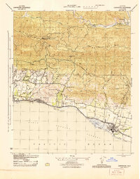
1952 Map of Carpinteria
USGS Topo · Published 1968About this map
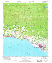
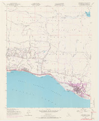
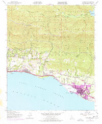
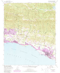
The Santa Ynez Mountains dominate this 1952 landscape, where the steep coastal range meets the Pacific Ocean along the Central California coast. This survey, with updates from 1967, captures the post-war expansion of Carpinteria and Summerland, highlighting the intricate relationship between the mountain watershed and coastal development. High-altitude features like Jameson Lake and Juncal Dam on the Santa Ynez River illustrate the region's water infrastructure, while the Southern Pacific tracks and the Camino Cielo delineate the primary transit corridors. The map records several localized landmarks of historical interest, including Fleischmann Field, the Crane Country Day Sch, and the scattered oil operations near Loon Point. Notable for genealogists are the named settlements of Serena and Sandyland, along with the Carpinteria Cemetery, providing a precise look at local land use before the major urban surges of the late 20th century.
Find a feature on this map
55 named features on this map. Tap any name to fly to it.
Don’t see what you’re looking for? This feature index may not catch every label — zoom into the map to look around manually.
Map Details
Editions of this 1952 Carpinteria Map
8 editions found
Other maps of this area

1902 · Santa Ynez
USGS Topo · 1:125,000

1903 · Mt. Pinos
USGS Topo · 1:125,000

1904 · Ventura
USGS Topo · 1:62,500

1905 · Santa Ynez
USGS Topo · 1:125,000

1941 · Ventura
USGS Topo · 1:62,500

1942 · Little Pine Mountain
USGS Topo · 1:24,000

1943 · Old Man Mountain
USGS Topo · 1:24,000

1943 · Hildreth Peak
USGS Topo · 1:24,000

1944 · Santa Barbara
USGS Topo · 1:31,680
1944 · Carpinteria
USGS Topo · 1:31,680