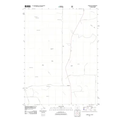
2011 Map of Carr East
USGS Topo · Published 2011About this map
Rockport and the surrounding high plains of northern Colorado define this landscape, where the high desert terrain is marked by a network of essential water resources and industrial outposts. The map reveals a specific ranching and utility infrastructure characterized by numerous family-named landmarks like the Davis Windmill, Schnoor Windmill, and Shaklee Windmill. These features, along with several camps including Ponnequin Camp and Owl Camp, underscore the necessity of water management and seasonal habitation in this arid environment.
Find a feature on this map
30 named features on this map. Tap any name to fly to it.
Don’t see what you’re looking for? This feature index may not catch every label — zoom into the map to look around manually.
Map Details
Editions of this 2011 Carr East Map
This is the sole edition of this map. No revisions or reprints were ever made.
Other maps of this area

1908 · Eaton
USGS Topo · 1:125,000

1910 · Eaton
USGS Topo · 1:125,000

1911 · Cheyenne
USGS Topo · 1:125,000

1914 · Cheyenne
USGS Topo · 1:125,000

1950 · Cheyenne
USGS Topo · 1:62,500

1954 · Cheyenne
USGS Topo · 1:250,000

1954 · Greeley
USGS Topo · 1:250,000

1957 · Greeley
USGS Topo · 1:250,000

1958 · Cheyenne
USGS Topo · 1:250,000

1958 · Greeley
USGS Topo · 1:250,000