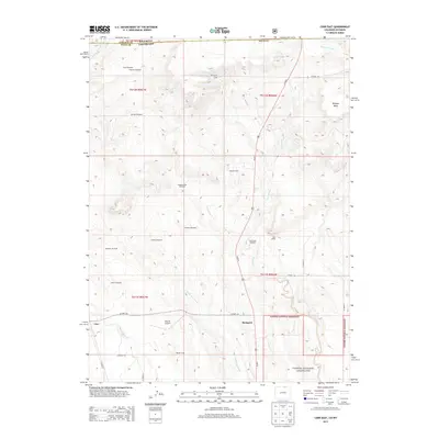
2013 Map of Carr East
USGS Topo · Published 2013About this map
The Wyoming-Colorado border defines the northern edge of this high plains landscape, where the settlements of Rockport and Carr sit along the Us-85 N corridor. This region is characterized by an extensive network of water management and livestock infrastructure, evidenced by numerous named landmarks such as the Happy Hollow Windmill, Shaklee Windmill, and Stephens Windmill. The presence of Mile Hi Airport and various established camps like Ponnequin Camp and Beacon Camp suggests a landscape utilized for both aviation and ranching operations during the early 21st century.
Find a feature on this map
38 named features on this map. Tap any name to fly to it.
Don’t see what you’re looking for? This feature index may not catch every label — zoom into the map to look around manually.
Map Details
Editions of this 2013 Carr East Map
This is the sole edition of this map. No revisions or reprints were ever made.
Other maps of this area

1908 · Eaton
USGS Topo · 1:125,000

1910 · Eaton
USGS Topo · 1:125,000

1911 · Cheyenne
USGS Topo · 1:125,000

1914 · Cheyenne
USGS Topo · 1:125,000

1950 · Cheyenne
USGS Topo · 1:62,500

1954 · Cheyenne
USGS Topo · 1:250,000

1954 · Greeley
USGS Topo · 1:250,000

1957 · Greeley
USGS Topo · 1:250,000

1958 · Cheyenne
USGS Topo · 1:250,000

1958 · Greeley
USGS Topo · 1:250,000