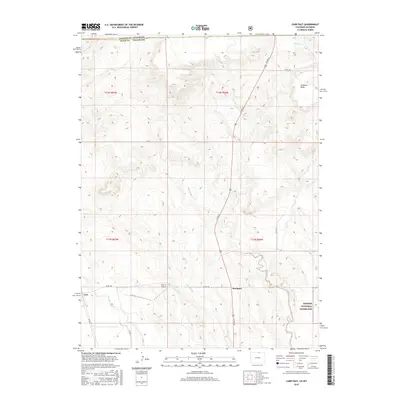
2016 Map of Carr East
USGS Topo · Published 2016About this map
Rockport sits as a primary settlement point in this high-plains landscape just south of the Colorado-Wyoming border. The terrain is defined by a series of drainage systems, most notably Lone Tree Cr and Owl Creek, which carve through the arid topography. To the northeast, Simpson Mesa provides a prominent elevation landmark, with Simpson Cr winding nearby. The map illustrates a transitional zone where ranching infrastructure meets public lands, notably the western edge of the Pawnee National Grassland. A network of county roads, such as Co RD 29 and Co RD 126, connects the small community of Carr with outlying aviation facilities like Mile Hi Airport. This 2016 survey captures the contemporary state of these borderland settlements, showing the spatial relationship between private holdings and protected federal grasslands.
Find a feature on this map
22 named features on this map. Tap any name to fly to it.
Don’t see what you’re looking for? This feature index may not catch every label — zoom into the map to look around manually.
Map Details
Editions of this 2016 Carr East Map
This is the sole edition of this map. No revisions or reprints were ever made.
Other maps of this area

1908 · Eaton
USGS Topo · 1:125,000

1910 · Eaton
USGS Topo · 1:125,000

1911 · Cheyenne
USGS Topo · 1:125,000

1914 · Cheyenne
USGS Topo · 1:125,000

1950 · Cheyenne
USGS Topo · 1:62,500

1954 · Cheyenne
USGS Topo · 1:250,000

1954 · Greeley
USGS Topo · 1:250,000

1957 · Greeley
USGS Topo · 1:250,000

1958 · Cheyenne
USGS Topo · 1:250,000

1958 · Greeley
USGS Topo · 1:250,000