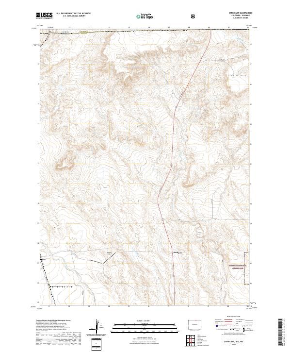
2022 Map of Carr East
USGS Topo · Published 2022About this map
The Pawnee National Grassland dominates the southeastern quadrant of this map, reflecting the conservation of the high plains landscape along the Colorado-Wyoming border. This arid terrain is defined by its intermittent drainage systems, including Lone Tree Cr and Little Owl Cr, which flow through a network of dry valleys toward the south. The small settlement of Rockport sits centrally along the north-south corridor of Co RD 29, while Carr occupies the western edge near the Wyoming state line.
Find a feature on this map
23 named features on this map. Tap any name to fly to it.
Don’t see what you’re looking for? This feature index may not catch every label — zoom into the map to look around manually.
Map Details
Editions of this 2022 Carr East Map
This is the sole edition of this map. No revisions or reprints were ever made.
Other maps of this area

1908 · Eaton
USGS Topo · 1:125,000

1910 · Eaton
USGS Topo · 1:125,000

1911 · Cheyenne
USGS Topo · 1:125,000

1914 · Cheyenne
USGS Topo · 1:125,000

1950 · Cheyenne
USGS Topo · 1:62,500

1954 · Cheyenne
USGS Topo · 1:250,000

1954 · Greeley
USGS Topo · 1:250,000

1957 · Greeley
USGS Topo · 1:250,000

1958 · Cheyenne
USGS Topo · 1:250,000

1958 · Greeley
USGS Topo · 1:250,000