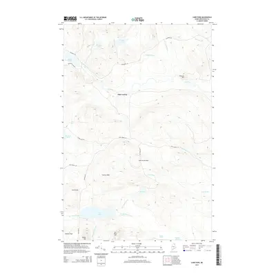
2014 Map of Carr Pond
USGS Topo · Published 2014About this map
High Landing and the surrounding timberlands of Aroostook County define this northern landscape, where the Fish River and its numerous tributaries dictate the movement of water and people. The map tracks the river's path through notable drops at Fish River Falls and Skeut Falls, bordered by an extensive network of ridges including Freeman Ridge, North Ridge, and Sheldon Ridge.
Find a feature on this map
36 named features on this map. Tap any name to fly to it.
Don’t see what you’re looking for? This feature index may not catch every label — zoom into the map to look around manually.
Map Details
Editions of this 2014 Carr Pond Map
This is the sole edition of this map. No revisions or reprints were ever made.
Other maps of this area
1928 · Winterville
USGS Topo · 1:48,000
1930 · Greenlaw
USGS Topo · 1:48,000
1931 · Fish River Lake
USGS Topo · 1:48,000
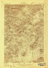
1931 · Mooseleuk Lake
USGS Topo · 1:48,000
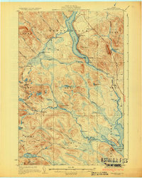
1931 · Winterville
USGS Topo · 1:62,500
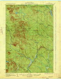
1933 · Greenlaw
USGS Topo · 1:62,500
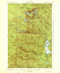
1935 · Fish River Lake
USGS Topo · 1:62,500
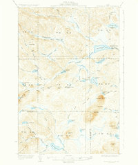
1935 · Mooseleuk Lake
USGS Topo · 1:62,500
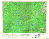
1954 · Presque Isle
USGS Topo · 1:250,000
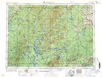
1958 · Presque Isle
USGS Topo · 1:250,000