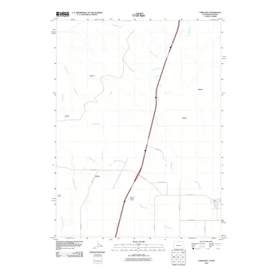
2010 Map of Carr West
USGS Topo · Published 2010About this map
Lone Tree Creek and Spotwood Creek define the drainage patterns of this high plains borderland near the Colorado-Wyoming state line. This 2010 survey illustrates a landscape of expansive ranching and intermittent resource extraction, anchored by the Woodhams Quarry in the northern reaches. Small clusters and named locales such as Norfolk, Warren, and Meadow Springs Ranch are connected by a geometric grid of county roads and the arterial route of the I-25 Access Rd.
Find a feature on this map
23 named features on this map. Tap any name to fly to it.
Don’t see what you’re looking for? This feature index may not catch every label — zoom into the map to look around manually.
Map Details
Editions of this 2010 Carr West Map
This is the sole edition of this map. No revisions or reprints were ever made.
Other maps of this area

1905 · Sherman
USGS Topo · 1:125,000

1907 · Livermore
USGS Topo · 1:125,000

1908 · Eaton
USGS Topo · 1:125,000

1909 · Livermore
USGS Topo · 1:125,000

1910 · Eaton
USGS Topo · 1:125,000

1911 · Cheyenne
USGS Topo · 1:125,000

1914 · Cheyenne
USGS Topo · 1:125,000

1950 · Cheyenne
USGS Topo · 1:62,500

1954 · Cheyenne
USGS Topo · 1:250,000

1954 · Greeley
USGS Topo · 1:250,000