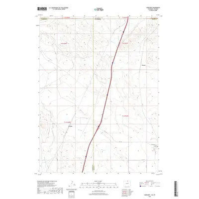
2019 Map of Carr West
USGS Topo · Published 2019About this map
Carr and the surrounding borderlands of Northern Colorado meet the Wyoming state line in this contemporary landscape. The settlement of Carr anchors the southeastern corner of the quadrangle, where residential streets like Stevenson Ave and 5th St are clearly defined. Further west and north, the small locales of Norfolk and Warren appear amidst a high-plains terrain characterized by an intricate drainage system. Waterways such as Lone Tree Cr, Spring Cr, and Spottwood Cr carve through the landscape, illustrating the natural irrigation patterns of this arid region. The presence of the I-25 Svc Rd and its corresponding access points highlights the importance of this north-south corridor for regional connectivity between Greeley and Cheyenne. This survey captures a moment in the modern era of Weld County, showing the intersection of rural county roads like Co Rd 126 and the long-standing townships that define the Colorado-Wyoming border.
Find a feature on this map
28 named features on this map. Tap any name to fly to it.
Don’t see what you’re looking for? This feature index may not catch every label — zoom into the map to look around manually.
Map Details
Editions of this 2019 Carr West Map
This is the sole edition of this map. No revisions or reprints were ever made.
Other maps of this area

1905 · Sherman
USGS Topo · 1:125,000

1907 · Livermore
USGS Topo · 1:125,000

1908 · Eaton
USGS Topo · 1:125,000

1909 · Livermore
USGS Topo · 1:125,000

1910 · Eaton
USGS Topo · 1:125,000

1911 · Cheyenne
USGS Topo · 1:125,000

1914 · Cheyenne
USGS Topo · 1:125,000

1950 · Cheyenne
USGS Topo · 1:62,500

1954 · Cheyenne
USGS Topo · 1:250,000

1954 · Greeley
USGS Topo · 1:250,000