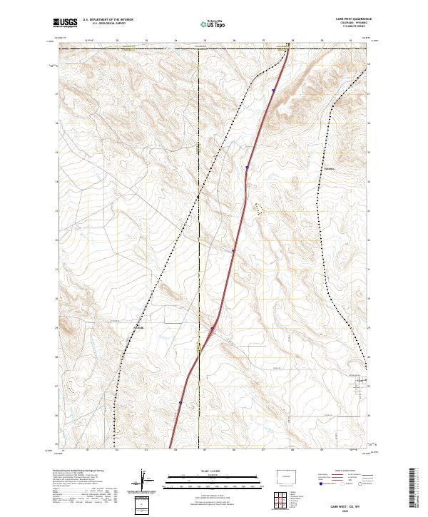
2022 Map of Carr West
USGS Topo · Published 2022About this map
Lone Tree Creek and Spottwood Creek define the drainage patterns across this high-plains landscape where the Wyoming and Colorado borders meet. The map documents a sparsely populated ranching and transit corridor, anchored by the small settlement of Carr in the southeast and the site of Norfolk along Spring Creek. Modern infrastructure, represented by the I-25 Service Road, parallels the older north-south travel routes that have long connected these borderlands. Local history and property boundaries are marked by a network of rural roads, including County Road 126 and County Road 92, while smaller residential footprints are visible in the blocks around Stevenson Avenue. The map effectively illustrates the intersection of three counties—Larimer and Weld in Colorado and Laramie in Wyoming—highlighting the jurisdictional complexity of this open territory.
Find a feature on this map
27 named features on this map. Tap any name to fly to it.
Don’t see what you’re looking for? This feature index may not catch every label — zoom into the map to look around manually.
Map Details
Editions of this 2022 Carr West Map
This is the sole edition of this map. No revisions or reprints were ever made.
Other maps of this area

1905 · Sherman
USGS Topo · 1:125,000

1907 · Livermore
USGS Topo · 1:125,000

1908 · Eaton
USGS Topo · 1:125,000

1909 · Livermore
USGS Topo · 1:125,000

1910 · Eaton
USGS Topo · 1:125,000

1911 · Cheyenne
USGS Topo · 1:125,000

1914 · Cheyenne
USGS Topo · 1:125,000

1950 · Cheyenne
USGS Topo · 1:62,500

1954 · Cheyenne
USGS Topo · 1:250,000

1954 · Greeley
USGS Topo · 1:250,000