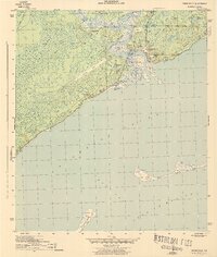
1944 Map of Carrabelle
USGS Topo · Published 1944About this map
Carrabelle River and the winding Crooked River converge at the Gulf coast in this wartime topographic survey. The settlement of Carrabelle sits at the heart of a maritime and rail network, served by the Seaboard railroad and protected by the Carrabelle Lighthouse. The landscape is defined by the transition from the dense, saturated interior of Tates Hell Swamp to the barrier islands of Dog Island and St George Island, separated by the East Pass.
Find a feature on this map
34 named features on this map. Tap any name to fly to it.
Don’t see what you’re looking for? This feature index may not catch every label — zoom into the map to look around manually.
Map Details
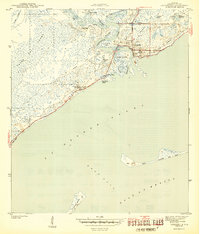
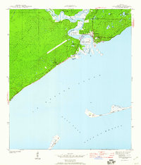
Editions of this 1944 Carrabelle Map
4 editions found
Other maps of this area

1943 · Dog Island
USGS Topo · 1:31,680

1943 · Carrabelle
USGS Topo · 1:24,000

1944 · Pickett Bay
USGS Topo · 1:31,680

1944 · Carrabelle
USGS Topo · 1:31,680

1944 · Green Point
USGS Topo · 1:31,680

1944 · Sugar Hill
USGS Topo · 1:31,680

1945 · Tates Hell Swamp
USGS Topo · 1:31,680

1945 · Mc Intyre
USGS Topo · 1:31,680

1945 · Sugar Hill
USGS Topo · 1:31,680

1945 · Pickett Bay
USGS Topo · 1:31,680