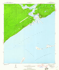
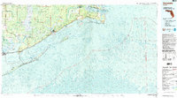
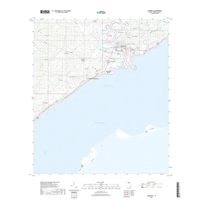
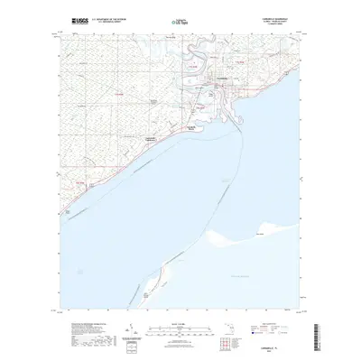
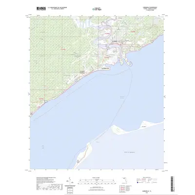
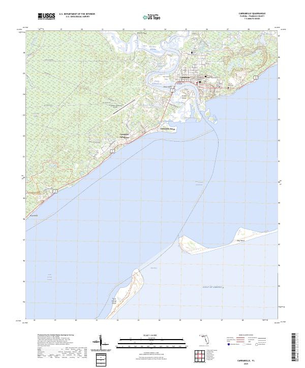
1978 Map of Carrabelle
USGS Topo · Published 1985About this map
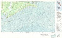
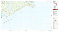
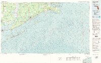
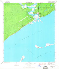
The Carrabelle shoreline and the vast Tates Hell Swamp dominate this topographic-bathymetric study of the Florida Panhandle. Published in the mid-1980s with data from the late 1970s, this map captures the coastal landscape before modern intensification, showing the critical connection between the mainland and the barrier islands of St George Island and Dog Island. The John Gorrie Memorial Bridge spans the waters at Eastpoint, anchoring the local transport network that serves small coastal outposts like Beverly and Lanark Village.
Find a feature on this map
45 named features on this map. Tap any name to fly to it.
Don’t see what you’re looking for? This feature index may not catch every label — zoom into the map to look around manually.
Map Details
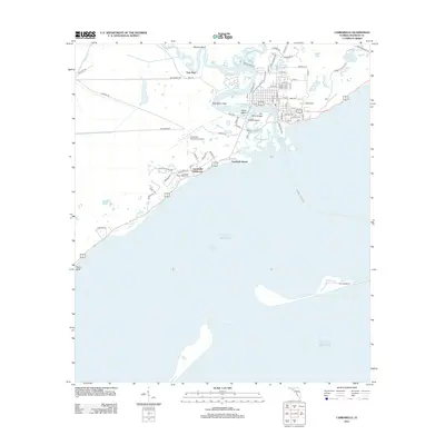
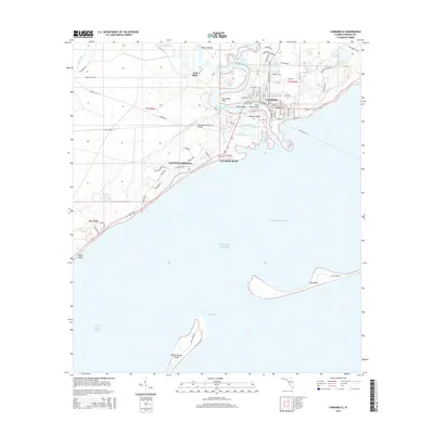
Editions of this 1978 Carrabelle Map
4 editions found
Historical Maps of Apalachicola Through Time
10 maps found
1943 Carrabelle
Franklin County, FL
1944 Carrabelle
Franklin County, FL
1978 Carrabelle
Franklin County, FL

1981 Carrabelle
Franklin County, FL
2012 Carrabelle
Franklin County, FL
2015 Carrabelle
Franklin County, FL
2018 Carrabelle
Franklin County, FL
2021 Carrabelle
Franklin County, FL
2024 Carrabelle
Franklin County, FL
2025 Carrabelle
Franklin County, FL