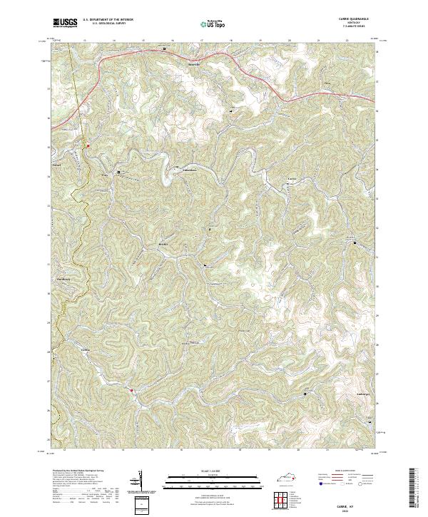
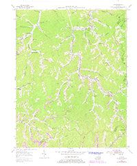
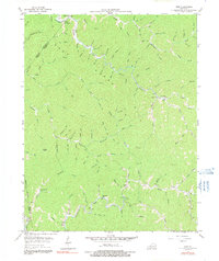
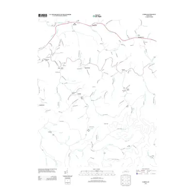
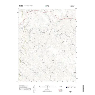
2022 Map of Carrie
USGS Topo · Published 2022About this map
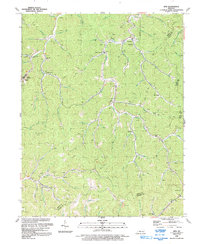
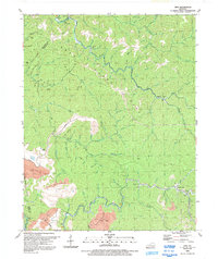
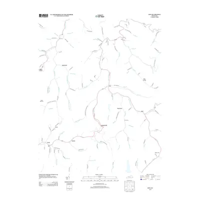
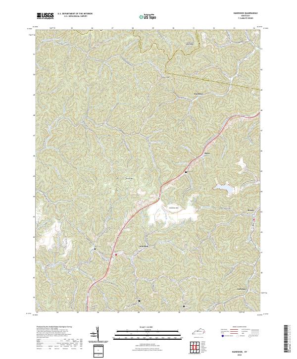
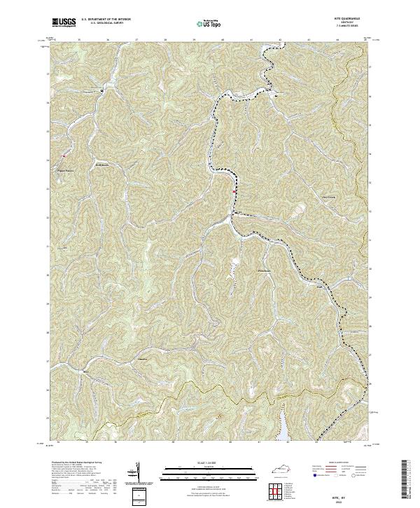
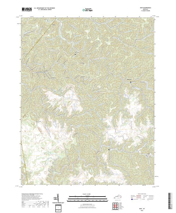
Troublesome Creek winds through a landscape defined by narrow hollows and steep ridges in this recent survey of Knott and Perry counties. Settlements like Carrie, Bearville, and Fisty follow the creek beds and gap crossings that have historically dictated movement through the mountains. Small family and community burial grounds, such as the Clear Creek Cem and Adam Terry Cem, are scattered across the high ground, providing critical reference points for genealogists tracking local ancestry in the Kentucky coalfields.
Find a feature on this map
112 named features on this map. Tap any name to fly to it.
Don’t see what you’re looking for? This feature index may not catch every label — zoom into the map to look around manually.
Map Details
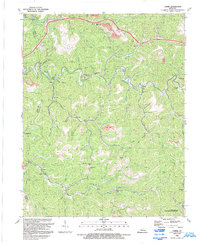
Editions of this 2022 Carrie Map
This is the sole edition of this map. No revisions or reprints were ever made.
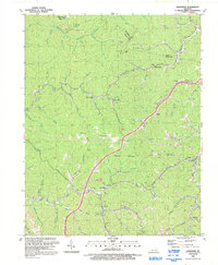
Historical Maps of Hindman Through Time
29 maps found
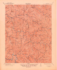
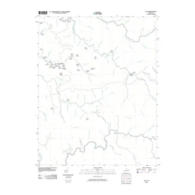
1914 Troublesome
Knott County, KY
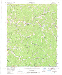
1954 Carrie
Knott County, KY
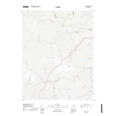
1954 Handshoe
Knott County, KY
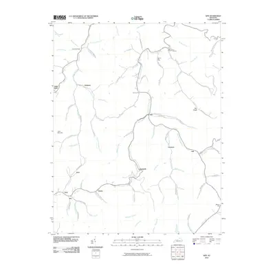
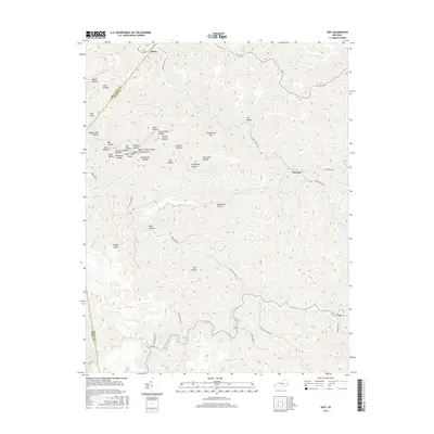
1954 Kite
Knott County, KY
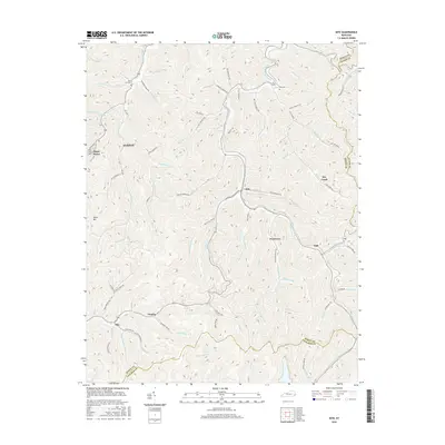
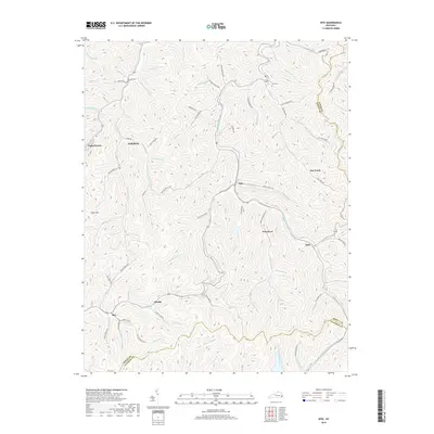
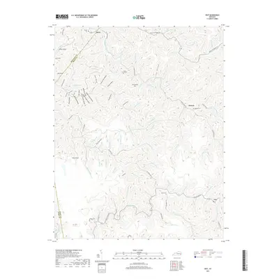
1954 Vest
Knott County, KY
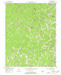
1992 Carrie
Knott County, KY
1992 Handshoe
Knott County, KY
1992 Kite
Knott County, KY
1992 Vest
Knott County, KY
2010 Carrie
Knott County, KY
2010 Handshoe
Knott County, KY
2010 Kite
Knott County, KY
2010 Vest
Knott County, KY
2013 Carrie
Knott County, KY
2013 Handshoe
Knott County, KY
2013 Kite
Knott County, KY
2013 Vest
Knott County, KY
2016 Carrie
Knott County, KY
2016 Handshoe
Knott County, KY
2016 Kite
Knott County, KY
2016 Vest
Knott County, KY
2019 Carrie
Knott County, KY
2019 Handshoe
Knott County, KY
2019 Kite
Knott County, KY
2019 Vest
Knott County, KY
2022 Carrie
Knott County, KY
2022 Handshoe
Knott County, KY
2022 Kite
Knott County, KY
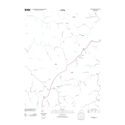
2022 Vest
Knott County, KY