
1954 Map of Noble
USGS Topo · Published 1955About this map
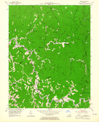
Troublesome Creek winds through this section of the Kentucky coalfields, dictating the settlement patterns of Breathitt and Perry counties in the mid-1950s. The landscape is defined by its narrow hollows and numerous family-named landmarks, such as John Noble, John Carpenter, and Johnson. Local life centers on a dense network of mountain schools and churches, including Buckhorn Ch and the Toms Branch Sch, which served the scattered residents along the creek forks.
Find a feature on this map
116 named features on this map. Tap any name to fly to it.
Don’t see what you’re looking for? This feature index may not catch every label — zoom into the map to look around manually.
Map Details
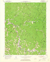
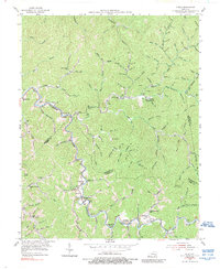
Editions of this 1954 Noble Map
4 editions found
Other maps of this area

1889 · Salyersville
USGS Topo · 1:125,000

1891 · Hazard
USGS Topo · 1:125,000

1891 · Salyersville
USGS Topo · 1:125,000

1899 · Salyersville
USGS Topo · 1:125,000

1913 · Buckhorn
USGS Topo · 1:62,500

1914 · Troublesome
USGS Topo · 1:62,500

1951 · Tiptop
USGS Topo · 1:24,000

1951 · Guage
USGS Topo · 1:24,000

1951 · Quicksand
USGS Topo · 1:24,000

1954 · Krypton
USGS Topo · 1:24,000