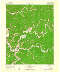
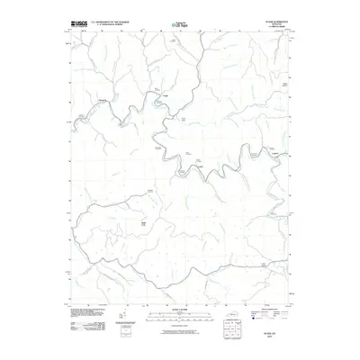
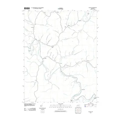
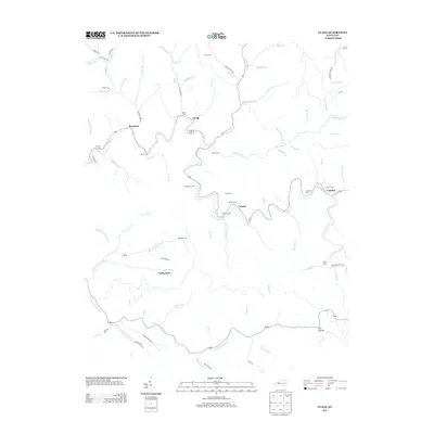
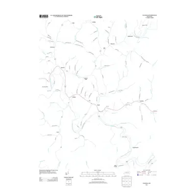
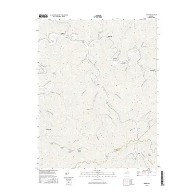
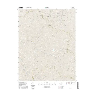
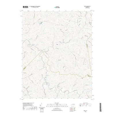
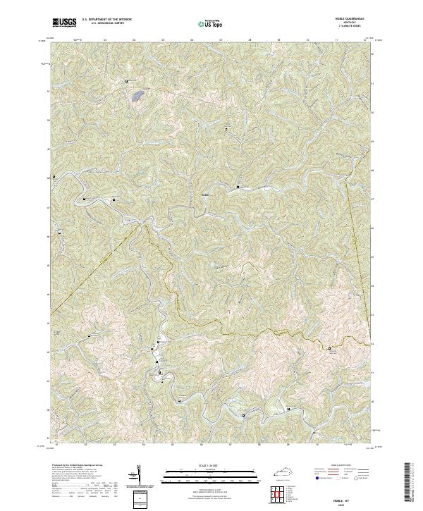
1954 Map of Noble
USGS Topo · Published 1973About this map
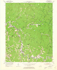
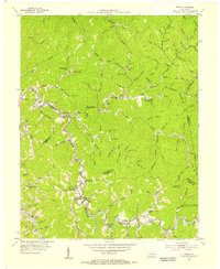
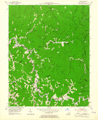
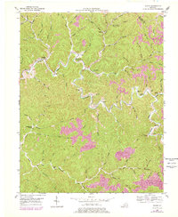
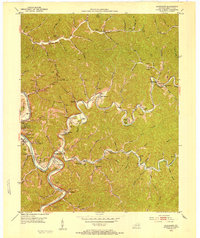
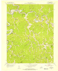
Troublesome Creek winds through the heart of this mid-century Eastern Kentucky landscape, defining the social and physical geography of the Noble and Stacy areas. The map reveals a deeply etched terrain of hollows and forks where family names like John Noble and Clemons are tied to specific reaches of the water. This era shows a community structured around small institutions, from the Homeplace Community Center to the Bethel Childrens Home, and specialized sites like the Camp Robinson University of Kentucky Engineering Camp. Geologists and local historians can trace the transition from traditional mountain life to early energy development, evidenced by a Gas Well near Buckhorn Ch and a Conveyor at the southern edge. The distribution of numerous small burial grounds, such as Jones Cem and Nabier Cems, provides an essential resource for genealogists mapping family lineages across the Breathitt and Perry County line.
Find a feature on this map
142 named features on this map. Tap any name to fly to it.
Don’t see what you’re looking for? This feature index may not catch every label — zoom into the map to look around manually.
Map Details
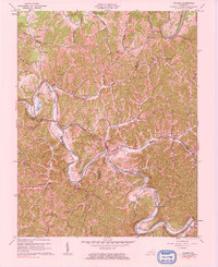
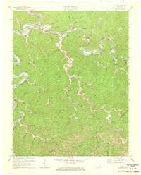
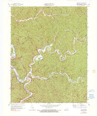
Editions of this 1954 Noble Map
4 editions found
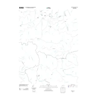
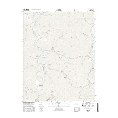
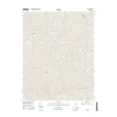
Historical Maps of Noble Through Time
48 maps found
1951 Guage
Breathitt County, KY
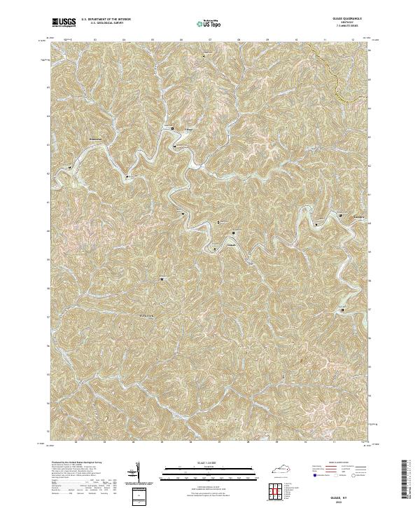
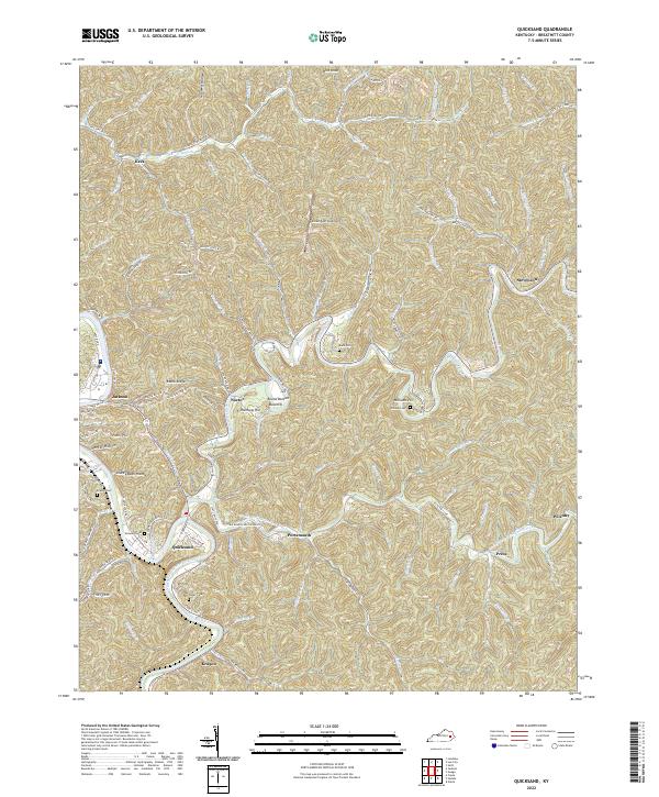
1951 Quicksand
Breathitt County, KY
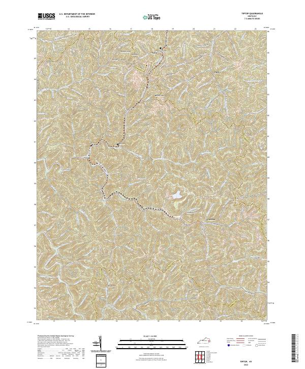
1951 Tiptop
Breathitt County, KY
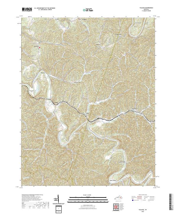
1952 Tallega
Breathitt County, KY
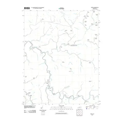
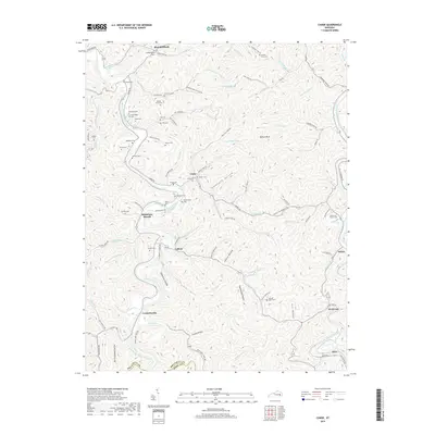
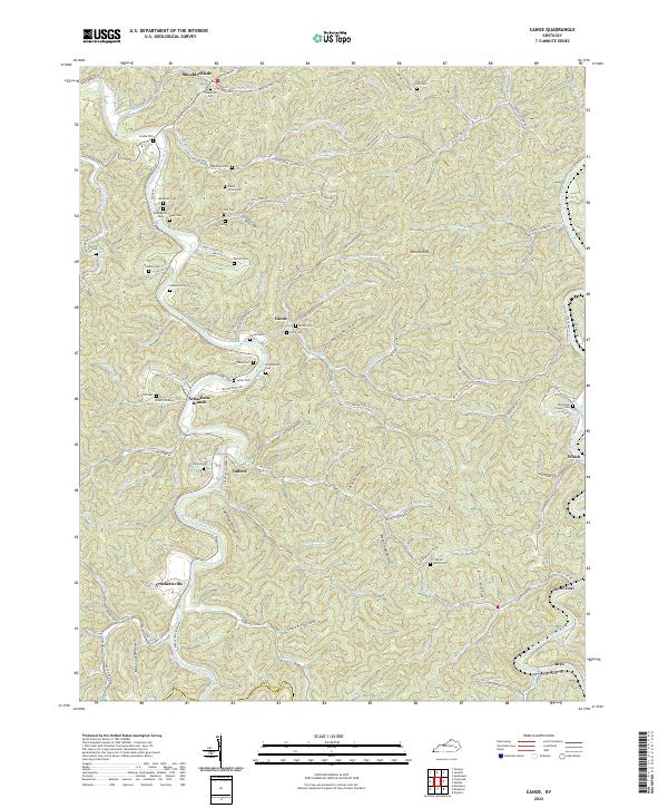
1954 Canoe
Breathitt County, KY
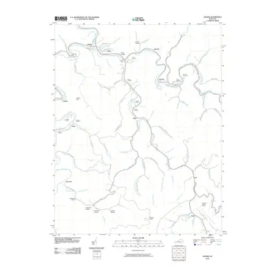
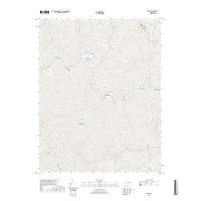
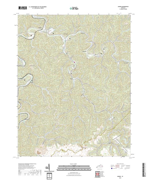
1954 Haddix
Breathitt County, KY
1954 Noble
Breathitt County, KY
1961 Canoe
Breathitt County, KY
1961 Haddix
Breathitt County, KY
1961 Quicksand
Breathitt County, KY
1961 Tallega
Breathitt County, KY
1972 Haddix
Breathitt County, KY
1972 Quicksand
Breathitt County, KY
2010 Guage
Breathitt County, KY
2010 Haddix
Breathitt County, KY
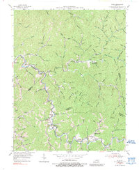
2010 Noble
Breathitt County, KY
2010 Quicksand
Breathitt County, KY
2010 Tallega
Breathitt County, KY
2010 Tiptop
Breathitt County, KY
2011 Canoe
Breathitt County, KY
2013 Canoe
Breathitt County, KY
2013 Guage
Breathitt County, KY
2013 Haddix
Breathitt County, KY
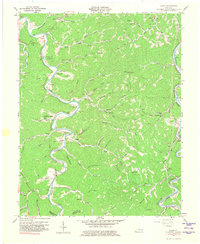
2013 Noble
Breathitt County, KY
2013 Quicksand
Breathitt County, KY
2013 Tallega
Breathitt County, KY
2013 Tiptop
Breathitt County, KY
2016 Canoe
Breathitt County, KY
2016 Guage
Breathitt County, KY
2016 Haddix
Breathitt County, KY
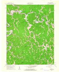
2016 Noble
Breathitt County, KY
2016 Quicksand
Breathitt County, KY
2016 Tallega
Breathitt County, KY
2016 Tiptop
Breathitt County, KY
2019 Canoe
Breathitt County, KY
2019 Guage
Breathitt County, KY
2019 Haddix
Breathitt County, KY
2019 Noble
Breathitt County, KY
2019 Quicksand
Breathitt County, KY
2019 Tallega
Breathitt County, KY
2019 Tiptop
Breathitt County, KY
2022 Canoe
Breathitt County, KY
2022 Guage
Breathitt County, KY
2022 Haddix
Breathitt County, KY
2022 Noble
Breathitt County, KY
2022 Quicksand
Breathitt County, KY
2022 Tallega
Breathitt County, KY
2022 Tiptop
Breathitt County, KY