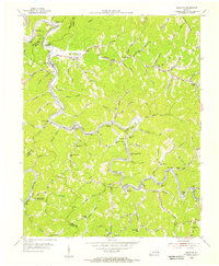
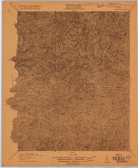
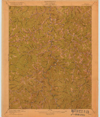
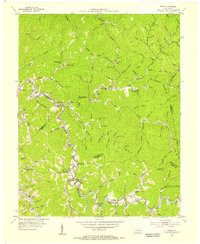
1954 Map of Krypton
USGS Topo · Published 1955About this map
The North Fork Kentucky River snakes through the steep valleys of Perry County, dictating the development of the mid-20th-century coal and timber landscape. Following the river's tight oxbows, the Louisville and Nashville Railroad connects small riverside communities like Chavies, Krypton, and Yerkes. The density of rural infrastructure is remarkable, with small schoolhouses such as Napfor Sch, Meadow Branch Sch, and Butterfly Sch serving isolated hollows and bends. These namesake schools and churches, including the Old Campbell Bend Ch, reflect a highly localized social structure common in the eastern Kentucky coalfields. In the northwest corner, Barwick sits near Fishtrap Shoals, while the southern reaches of the map show the headwaters of numerous creeks like Trace Fork and Lower Grassy Br as they flow toward the Middle Fork Kentucky River.
Find a feature on this map
96 named features on this map. Tap any name to fly to it.
Don’t see what you’re looking for? This feature index may not catch every label — zoom into the map to look around manually.
Map Details
Editions of this 1954 Krypton Map
This is the sole edition of this map. No revisions or reprints were ever made.
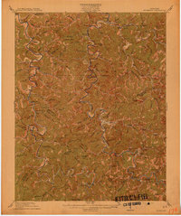
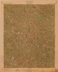
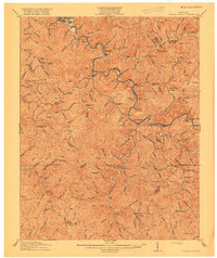
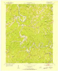
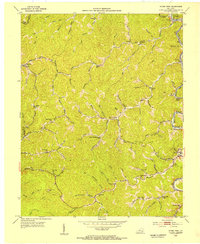
Other maps of this area

1891 · Hazard
USGS Topo · 1:125,000
1913 · Buckhorn
USGS Topo · 1:62,500
1914 · Troublesome
USGS Topo · 1:62,500
1916 · Cornettsville
USGS Topo · 1:62,500
1916 · Hyden
USGS Topo · 1:48,000
1919 · Hyden
USGS Topo · 1:62,500
1953 · Buckhorn
USGS Topo · 1:24,000
1953 · Hyden West
USGS Topo · 1:24,000
1954 · Noble
USGS Topo · 1:24,000
1954 · Hyden East
USGS Topo · 1:24,000