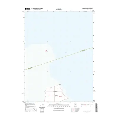
2014 Map of Carrington Island
USGS Topo · Published 2014About this map
Carrington Island dominates the southern reaches of this survey, standing as a prominent landform within the brine of the Great Salt Lake. This 2014 geographic study captures the island's isolation and its specific shore features, including Stoddard Point at its northern tip and the distinctive Lambournes Rock to the south. Further southeast, the shoreline curves into Sac Bay near Sac Point, illustrating the localized topography of these island outcrops.
Find a feature on this map
11 named features on this map. Tap any name to fly to it.
Don’t see what you’re looking for? This feature index may not catch every label — zoom into the map to look around manually.
Map Details
Editions of this 2014 Carrington Island Map
This is the sole edition of this map. No revisions or reprints were ever made.
Other maps of this area

1885 · Tooele Valley
USGS Topo · 1:250,000

1953 · Tooele
USGS Topo · 1:250,000

1954 · Brigham City
USGS Topo · 1:250,000

1955 · Tooele
USGS Topo · 1:250,000

1958 · Brigham City
USGS Topo · 1:250,000

1962 · Brigham City
USGS Topo · 1:250,000

1968 · Promontory Point
USGS Topo · 1:24,000

1968 · Plug Peak NW
USGS Topo · 1:24,000

1968 · Carrington Island SW
USGS Topo · 1:24,000

1968 · Fremont Island SW
USGS Topo · 1:24,000