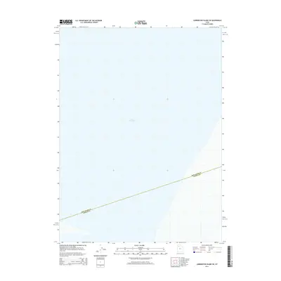
2014 Map of Carrington Island SW
USGS Topo · Published 2014About this map
Great Salt Lake dominates the visual landscape of this 2014 survey, which depicts a remote and watery stretch of the northern Utah interior. The map is defined by the absence of permanent human settlement or terrestrial landmarks, focusing instead on the expansive surface of the lake and the submerged administrative boundaries that divide it. A primary feature of the sheet is the diagonal Box Elder Co Tooele Co line, which cuts across the aquatic expanse to mark the jurisdictional border between the two counties. This survey reflects the modern hydrographic state of the region as recorded by the U.S. Geological Survey in the early 2010s, providing a precise record of the shoreline and water levels for this specific quadrant of the Great Basin.
Find a feature on this map
2 named features on this map. Tap any name to fly to it.
Don’t see what you’re looking for? This feature index may not catch every label — zoom into the map to look around manually.
Map Details
Editions of this 2014 Carrington Island SW Map
This is the sole edition of this map. No revisions or reprints were ever made.
Other maps of this area

1885 · Tooele Valley
USGS Topo · 1:250,000

1953 · Tooele
USGS Topo · 1:250,000

1954 · Brigham City
USGS Topo · 1:250,000

1955 · Tooele
USGS Topo · 1:250,000

1958 · Brigham City
USGS Topo · 1:250,000

1962 · Brigham City
USGS Topo · 1:250,000

1968 · Carrington Island SW
USGS Topo · 1:24,000

1968 · Deardens Knoll
USGS Topo · 1:24,000

1968 · Badger Island NW
USGS Topo · 1:24,000

1968 · Badger Island
USGS Topo · 1:24,000