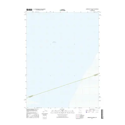
2017 Map of Carrington Island SW
USGS Topo · Published 2017About this map
The vast expanse of the Great Salt Lake dominates this 2017 survey, representing a significant portion of the water body west of the main Utah population centers. The map depicts a critical aquatic environment where the jurisdictional boundary between Box Elder Co and Tooele Co cuts across the water, illustrating how county lines are maintained even in the middle of the lake. This specific area captures the western reaches of the lake where the shoreline begins to emerge in the southeastern corner, showing the intersection of geography and administrative borders in the high desert basin.
Find a feature on this map
2 named features on this map. Tap any name to fly to it.
Don’t see what you’re looking for? This feature index may not catch every label — zoom into the map to look around manually.
Map Details
Editions of this 2017 Carrington Island SW Map
This is the sole edition of this map. No revisions or reprints were ever made.
Other maps of this area

1885 · Tooele Valley
USGS Topo · 1:250,000

1953 · Tooele
USGS Topo · 1:250,000

1954 · Brigham City
USGS Topo · 1:250,000

1955 · Tooele
USGS Topo · 1:250,000

1958 · Brigham City
USGS Topo · 1:250,000

1962 · Brigham City
USGS Topo · 1:250,000

1968 · Carrington Island SW
USGS Topo · 1:24,000

1968 · Deardens Knoll
USGS Topo · 1:24,000

1968 · Badger Island NW
USGS Topo · 1:24,000

1968 · Badger Island
USGS Topo · 1:24,000