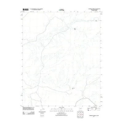
2011 Map of Carrisito Spring
USGS Topo · Published 2011About this map
Carrisito Spring provides a rare water source in this corner of the Navajo Nation near the Arizona and New Mexico border. The landscape is defined by a complex drainage network, where the seasonal flows of Twentytwo Draw and the more prominent Carrizo Wash carve paths through the high desert. This 2011 survey captures the area’s limited infrastructure, primarily consisting of the north-south corridor of Highway 191 and the primitive Co Rd 6003. The intricate topography of Little Blanco Canyon and Horse Canyon in the northeast corner highlights the erosion patterns characteristic of this arid region. For researchers, the map serves as a clear record of the intersection between ancient natural features and the sparse modern roadway network used by local residents and travelers crossing between states.
Find a feature on this map
7 named features on this map. Tap any name to fly to it.
Don’t see what you’re looking for? This feature index may not catch every label — zoom into the map to look around manually.
Map Details
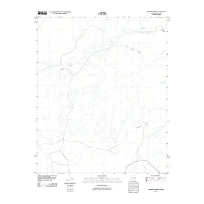
Editions of this 2011 Carrisito Spring Map
2 editions found
Other maps of this area

1886 · St Johns
USGS Topo · 1:250,000

1892 · St Johns
USGS Topo · 1:250,000

1954 · Saint Johns
USGS Topo · 1:250,000

1957 · Saint Johns
USGS Topo · 1:250,000

1958 · Saint Johns
USGS Topo · 1:250,000

1962 · Saint Johns
USGS Topo · 1:250,000

1971 · Mesa Parada NW
USGS Topo · 1:24,000

1971 · Mesa Parada
USGS Topo · 1:24,000

1972 · Twentytwo Spring
USGS Topo · 1:24,000

1972 · Cantaralo Spring
USGS Topo · 1:24,000