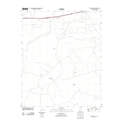
2011 Map of Carrizo Butte
USGS Topo · Published 2011About this map
The Puerco River corridor dominates this high-desert landscape in eastern Arizona, where water management is central to the history of the land. Named locations like Ortegas Ranch and Ubank Place indicate a legacy of ranching and remote settlement, while a series of stock tanks such as Gray Tank, Wooden Tank, and Delaney Tank are scattered across the arid terrain to support livestock. The topography is defined by prominent landmarks including Carrizo Butte and Twin Buttes, which serve as navigational anchors in a region crisscrossed by numerous ephemeral drainages like Lithodendron Wash and Winsor Wash.
Find a feature on this map
33 named features on this map. Tap any name to fly to it.
Don’t see what you’re looking for? This feature index may not catch every label — zoom into the map to look around manually.
Map Details
Editions of this 2011 Carrizo Butte Map
This is the sole edition of this map. No revisions or reprints were ever made.
Other maps of this area

1883 · Tusayan
USGS Topo · 1:250,000

1886 · St Johns
USGS Topo · 1:250,000

1886 · Tusayan
USGS Topo · 1:250,000

1886 · Fort Defiance
USGS Topo · 1:250,000

1886 · Holbrook
USGS Topo · 1:250,000

1892 · Fort Defiance
USGS Topo · 1:250,000

1892 · St Johns
USGS Topo · 1:250,000

1893 · Holbrook
USGS Topo · 1:250,000

1912 · Petrified Forest
USGS Topo · 1:62,500

1947 · Flagstaff
USGS Topo · 1:250,000