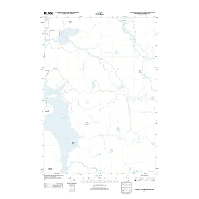
2013 Map of Carry Falls Reservoir
USGS Topo · Published 2013About this map
Carry Falls Reservoir dominates the drainage of Saint Lawrence County in this 21st-century survey, creating a sprawling waterway punctuated by features like Radio Island and Maple Island. The landscape is a complex network of impounded waters and natural ponds, including Stark Falls Reservoir and the secluded Joe Indian Pond. To the west, the small settlement of Little Kildare sits near the headwaters of the reservoir system.
Find a feature on this map
43 named features on this map. Tap any name to fly to it.
Don’t see what you’re looking for? This feature index may not catch every label — zoom into the map to look around manually.
Map Details
Editions of this 2013 Carry Falls Reservoir Map
This is the sole edition of this map. No revisions or reprints were ever made.
Other maps of this area

1908 · Potsdam
USGS Topo · 1:62,500

1919 · Nicholville
USGS Topo · 1:62,500

1920 · Childwold
USGS Topo · 1:62,500

1921 · Childwold
USGS Topo · 1:48,000

1921 · Nicholville
USGS Topo · 1:62,500

1921 · Stark
USGS Topo · 1:62,500

1922 · Childwold
USGS Topo · 1:62,500

1923 · Stark
USGS Topo · 1:62,500

1940 · Stark
USGS Topo · 1:62,500

1942 · Long Bow
USGS Topo · 1:24,000