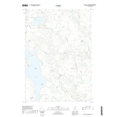
2019 Map of Carry Falls Reservoir
USGS Topo · Published 2019About this map
Carry Falls Reservoir and Stark Falls Reservoir dominate this northern New York landscape, representing the significant hydraulic development of the Raquette River watershed. The terrain is a complex network of glacial ponds and watercourses, where the West Branch Saint Regis River and Jordan River flow through the Adirondack Park. High points like Whitney Pond Mtn, Bog Mtn, and Number 19 Mtn rise above the surrounding wetlands, creating a distinctive pattern of islands such as Radio Island and Maple Island within the reservoirs.
Find a feature on this map
44 named features on this map. Tap any name to fly to it.
Don’t see what you’re looking for? This feature index may not catch every label — zoom into the map to look around manually.
Map Details
Editions of this 2019 Carry Falls Reservoir Map
This is the sole edition of this map. No revisions or reprints were ever made.
Other maps of this area

1908 · Potsdam
USGS Topo · 1:62,500

1919 · Nicholville
USGS Topo · 1:62,500

1920 · Childwold
USGS Topo · 1:62,500

1921 · Childwold
USGS Topo · 1:48,000

1921 · Nicholville
USGS Topo · 1:62,500

1921 · Stark
USGS Topo · 1:62,500

1922 · Childwold
USGS Topo · 1:62,500

1923 · Stark
USGS Topo · 1:62,500

1940 · Stark
USGS Topo · 1:62,500

1942 · Long Bow
USGS Topo · 1:24,000