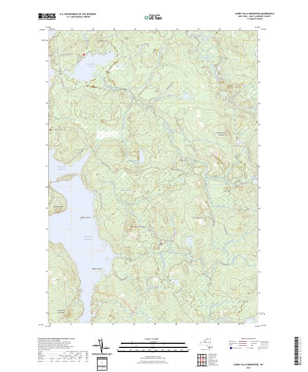
2023 Map of Carry Falls Reservoir
USGS Topo · Published 2023About this map
Carry Falls Reservoir and Stark Falls Reservoir dominate the hydrology of this St. Lawrence County landscape, where the waters of the Jordan River and the West Branch Saint Regis River meet engineered catchments. This modern survey illustrates the interface between recreation and natural preservation within the Adirondack Park Preserve. Significant terrain features like Number 19 Mountain and Newton Hill overlook a network of backcountry brooks and ponds, including Joe Indian Pond and Kildare Pond.
Find a feature on this map
41 named features on this map. Tap any name to fly to it.
Don’t see what you’re looking for? This feature index may not catch every label — zoom into the map to look around manually.
Map Details
Editions of this 2023 Carry Falls Reservoir Map
This is the sole edition of this map. No revisions or reprints were ever made.
Other maps of this area

1908 · Potsdam
USGS Topo · 1:62,500

1919 · Nicholville
USGS Topo · 1:62,500

1920 · Childwold
USGS Topo · 1:62,500

1921 · Childwold
USGS Topo · 1:48,000

1921 · Nicholville
USGS Topo · 1:62,500

1921 · Stark
USGS Topo · 1:62,500

1922 · Childwold
USGS Topo · 1:62,500

1923 · Stark
USGS Topo · 1:62,500

1940 · Stark
USGS Topo · 1:62,500

1942 · Long Bow
USGS Topo · 1:24,000