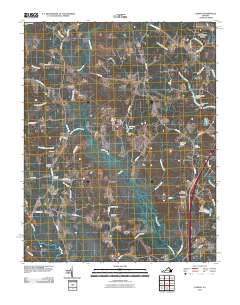
2010 Map of Carson
USGS Topo · Published 2010About this map
Rowanty Creek and its many meandering tributaries, such as Health Meadows Branch and Fox Branch, define the low-lying landscape of this part of Dinwiddie County. The map details a rural transition zone where small settlements like Reams and Rowanta are connected by a network of historic roads including Old Stage Rd and Duncan Rd. The geographic center of the sheet reveals a series of managed water bodies, including Perkins Pond and Butterworth Pond, alongside significant wetlands like Arthur Swamp. Genealogists and local historians will find value in the diverse burial sites recorded here, from the Confederate Cemetery near the heart of the quadrangle to the Shiloh Cemetery and Little Zion Cemetery, which anchor the spiritual and social history of these Virginia communities.
Find a feature on this map
63 named features on this map. Tap any name to fly to it.
Don’t see what you’re looking for? This feature index may not catch every label — zoom into the map to look around manually.
Map Details
Editions of this 2010 Carson Map
This is the sole edition of this map. No revisions or reprints were ever made.
Other maps of this area

1894 · Petersburg
USGS Topo · 1:62,500

1897 · Amelia
USGS Topo · 1:125,000

1919 · Jarratt
USGS Topo · 1:62,500

1919 · Mc Kenney
USGS Topo · 1:48,000

1921 · Mc Kenney
USGS Topo · 1:62,500

1943 · Mc Kenney
USGS Topo · 1:62,500

1943 · Dinwiddie
USGS Topo · 1:24,000

1943 · Sutherland
USGS Topo · 1:24,000

1943 · Richmond
USGS Topo · 1:250,000

1944 · Reams
USGS Topo · 1:31,680