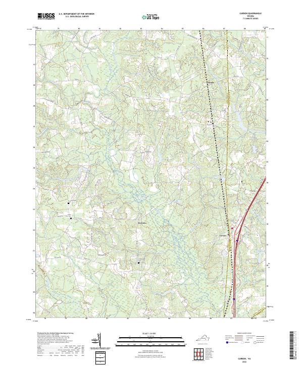
2022 Map of Carson
USGS Topo · Published 2022About this map
The borderlands of Dinwiddie and Prince George counties are defined by a complex network of wetlands and creek drainages south of Petersburg. This landscape transitions from the well-defined waters of Hatcher Run and Gravelly Run into the dense, marshy reaches of Jones Hole Swamp and Warwick Swamp. Local history is anchored by settlements like Reams and Rowanta, while the cultural landscape is marked by numerous family and community landmarks such as Little Zion Cem and the Confederate Cem. The area is geographically dominated by the Rowanty Cr watershed, where numerous small tributaries like Brick Kiln Br and Fox Br weave through the terrain. This modern survey demonstrates the persistence of traditional land names even as the region remains largely defined by its intricate hydrography, including Perkins Pond and Indian Swamp Pond.
Find a feature on this map
80 named features on this map. Tap any name to fly to it.
Don’t see what you’re looking for? This feature index may not catch every label — zoom into the map to look around manually.
Map Details
Editions of this 2022 Carson Map
This is the sole edition of this map. No revisions or reprints were ever made.
Other maps of this area

1894 · Petersburg
USGS Topo · 1:62,500

1897 · Amelia
USGS Topo · 1:125,000

1919 · Jarratt
USGS Topo · 1:62,500

1919 · Mc Kenney
USGS Topo · 1:48,000

1921 · Mc Kenney
USGS Topo · 1:62,500

1943 · Mc Kenney
USGS Topo · 1:62,500

1943 · Dinwiddie
USGS Topo · 1:24,000

1943 · Sutherland
USGS Topo · 1:24,000

1943 · Richmond
USGS Topo · 1:250,000

1944 · Reams
USGS Topo · 1:31,680