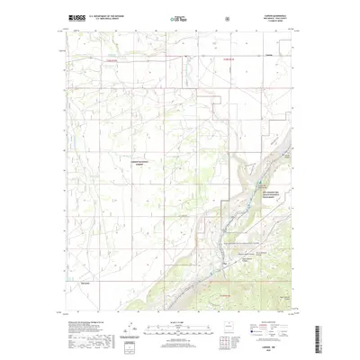
2020 Map of Carson
USGS Topo · Published 2020About this map
Pilar and the narrow corridor of the Rio Grande define the southeast portion of this Taos County survey, where the river carves through Cañon del Rio Grande. This area, protected within the Rio Grande del Norte National Monument, is characterized by a series of river features including The Karmic Wave Rapid, The Narrows Rapid, and Albert's Rapid. The settlement of Carson sits in the northeast, while Barranca is located at the southwest edge of the map.
Find a feature on this map
39 named features on this map. Tap any name to fly to it.
Don’t see what you’re looking for? This feature index may not catch every label — zoom into the map to look around manually.
Map Details
Editions of this 2020 Carson Map
This is the sole edition of this map. No revisions or reprints were ever made.
Other maps of this area

1953 · Velarde
USGS Topo · 1:24,000

1953 · Trampas
USGS Topo · 1:24,000

1954 · Raton
USGS Topo · 1:250,000

1958 · Raton
USGS Topo · 1:250,000

1960 · Taos Junction
USGS Topo · 1:24,000

1961 · Carson
USGS Topo · 1:24,000

1961 · Tres Orejas
USGS Topo · 1:24,000

1961 · Servilleta Plaza
USGS Topo · 1:24,000

1964 · Los Cordovas
USGS Topo · 1:24,000

1964 · Penasco
USGS Topo · 1:24,000