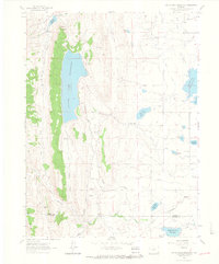
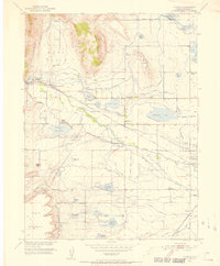
1962 Map of Carter Lake Reservoir
USGS Topo · Published 1964About this map
The Carter Lake Reservoir dominates this Colorado landscape, acting as a central hub for a complex network of water management features in the early 1960s. The map illustrates an intricate system of industrial utility, featuring the Flatiron Powerplant, several pressure tunnels, and a Spillway connecting to the Flatiron Reservoir. This infrastructure supported the movement of water across the terrain of Flatiron Mountain and through the distinct depressions of Chimney Hollow and Meadow Hollow. Along the eastern plains, a series of smaller catchment areas like Hertha Reservoir, Foster Reservoir, and Wilson Reservoir reflect the agricultural engineering of the period. Evidence of local industry is visible through numerous quarries scattered across the ridgeline, while the southern portion of the sheet traces the course of the Little Thompson River as it crosses the boundary between Larimer and Boulder counties near Dowe Pass.
Find a feature on this map
30 named features on this map. Tap any name to fly to it.
Don’t see what you’re looking for? This feature index may not catch every label — zoom into the map to look around manually.
Map Details
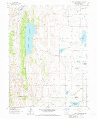
Editions of this 1962 Carter Lake Reservoir Map
3 editions found

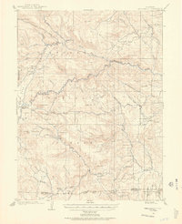
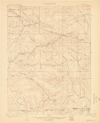
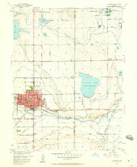
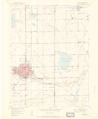
Other maps of this area

1902 · Boulder
USGS Topo · 1:62,500

1904 · Niwot
USGS Topo · 1:62,500

1904 · Boulder
USGS Topo · 1:62,500
1905 · Mount Olympus
USGS Topo · 1:62,500

1906 · Loveland
USGS Topo · 1:62,500
1907 · Mount Olympus
USGS Topo · 1:62,500

1908 · Loveland
USGS Topo · 1:62,500
1950 · Hygiene
USGS Topo · 1:24,000
1950 · Longmont
USGS Topo · 1:24,000
1951 · Longmont
USGS Topo · 1:24,000