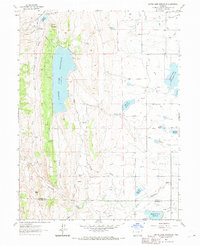
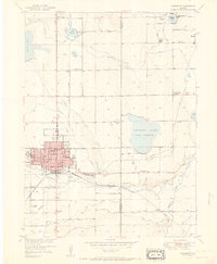
1962 Map of Carter Lake Reservoir
USGS Topo · Published 1969About this map
Carter Lake Reservoir dominates this 1962 landscape, serving as a focal point for the complex irrigation and power infrastructure of the Colorado Front Range. The map illustrates a sophisticated system of water management, featuring the St Vrain Supply Canal, Handy Supply Ditch, and Penstocks that connect to the Flatiron Powerplant. This industrial footprint is integrated into the terrain of the foothills, where Flatiron Mountain and Indian Mountain rise above the surrounding valleys. Numerous small reservoirs, including Lonetree Reservoir and Highland No 2 Reservoir, are scattered throughout the quadrangle, reflecting the area's agricultural dependency. Evidence of local industry is also visible in the recurring Quarry and Quarries labels near Chimney Hollow, while the Little Thompson River carves its path across the southern boundary between Larimer and Boulder counties.
Find a feature on this map
35 named features on this map. Tap any name to fly to it.
Don’t see what you’re looking for? This feature index may not catch every label — zoom into the map to look around manually.
Map Details
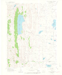
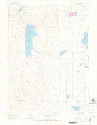
Editions of this 1962 Carter Lake Reservoir Map
3 editions found
Other maps of this area

1902 · Boulder
USGS Topo · 1:62,500

1904 · Niwot
USGS Topo · 1:62,500

1904 · Boulder
USGS Topo · 1:62,500

1905 · Mount Olympus
USGS Topo · 1:62,500

1906 · Loveland
USGS Topo · 1:62,500

1907 · Mount Olympus
USGS Topo · 1:62,500

1908 · Loveland
USGS Topo · 1:62,500

1950 · Hygiene
USGS Topo · 1:24,000
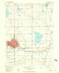
1950 · Longmont
USGS Topo · 1:24,000
1951 · Longmont
USGS Topo · 1:24,000