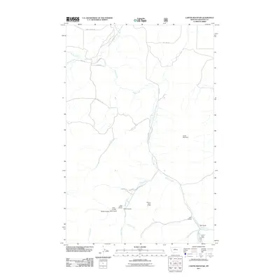
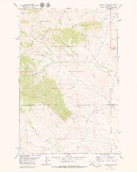
2011 Map of Carter Mountain
USGS Topo · Published 2011About this map
Shonkin Creek winds through this central Montana landscape, serving as the primary drainage for a network of coulees and gulches in Chouteau County. The terrain is characterized by the prominent elevation of Carter Mountain and a series of distinct geographical depressions including Todd Coulee, Broker Coulee, and Elmer Coulee. These features represent a classic High Plains topography where water has carved deep paths through the ranching country.
Find a feature on this map
31 named features on this map. Tap any name to fly to it.
Don’t see what you’re looking for? This feature index may not catch every label — zoom into the map to look around manually.
Map Details
Editions of this 2011 Carter Mountain Map
This is the sole edition of this map. No revisions or reprints were ever made.
Other maps of this area

1890 · Fort Benton
USGS Topo · 1:250,000

1892 · Fort Benton
USGS Topo · 1:250,000

1897 · Fort Benton
USGS Topo · 1:250,000

1954 · Great Falls
USGS Topo · 1:250,000

1957 · Great Falls
USGS Topo · 1:250,000
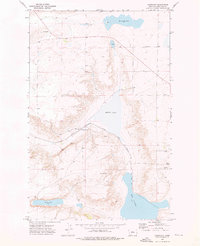
1972 · Montague
USGS Topo · 1:24,000
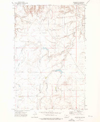
1972 · Shonkin NW
USGS Topo · 1:24,000
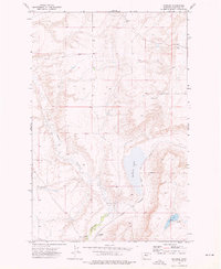
1972 · Shonkin
USGS Topo · 1:24,000

1978 · Arrow Peak
USGS Topo · 1:24,000
1979 · Palisade Butte
USGS Topo · 1:24,000