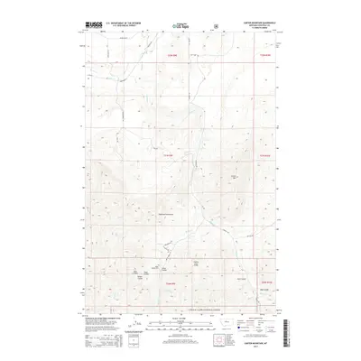
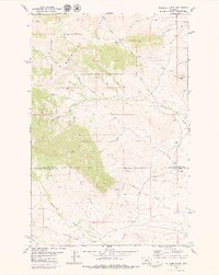
2014 Map of Carter Mountain
USGS Topo · Published 2014About this map
The Highwood Mountains dominate the central landscape of this Chouteau County survey, where the drainages of the Lewis & Clark National Forest give way to the rugged coulee systems of north-central Montana. The terrain is marked by significant topographical shifts, from the heights of Carter Mtn to the deep incisions of Bear Gulch and Cecil Coulee in the southeast. Historical land use and settlement patterns are evident near the headwaters of Shonkin Creek, where the Upper Shonkin Cem and the Shonkin Creek Bridge anchor a network of rural routes like Shonkin Rd and Bishop Creek Rd. A transition from high timber to ranchland is visible as Lacey Cr and Bishop Cr flow through the foothills, passing through features like Elmer Coulee and Back Coulee that define this remote mountain-and-prairie interface.
Find a feature on this map
40 named features on this map. Tap any name to fly to it.
Don’t see what you’re looking for? This feature index may not catch every label — zoom into the map to look around manually.
Map Details
Editions of this 2014 Carter Mountain Map
This is the sole edition of this map. No revisions or reprints were ever made.
Other maps of this area

1890 · Fort Benton
USGS Topo · 1:250,000

1892 · Fort Benton
USGS Topo · 1:250,000

1897 · Fort Benton
USGS Topo · 1:250,000

1954 · Great Falls
USGS Topo · 1:250,000

1957 · Great Falls
USGS Topo · 1:250,000
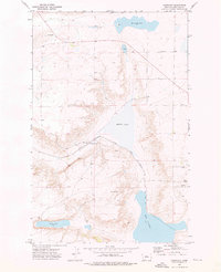
1972 · Montague
USGS Topo · 1:24,000
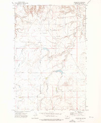
1972 · Shonkin NW
USGS Topo · 1:24,000
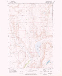
1972 · Shonkin
USGS Topo · 1:24,000

1978 · Arrow Peak
USGS Topo · 1:24,000
1979 · Palisade Butte
USGS Topo · 1:24,000