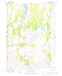
1966 Map of Carter Reservoir
USGS Topo · Published 1977About this map
The remote high-desert borderlands between California and Nevada are defined here by essential water sources and the stark topography of the Long Valley (Depression). In the mid-1960s, this landscape was dominated by ranching infrastructure, evidenced by numerous Springs and an intricate network of fence lines. Crooks Lake and Carter Reservoir stand as the primary catchments in an otherwise arid basin, while Sand Creek drains the surrounding hills.
Find a feature on this map
15 named features on this map. Tap any name to fly to it.
Don’t see what you’re looking for? This feature index may not catch every label — zoom into the map to look around manually.
Map Details
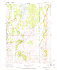
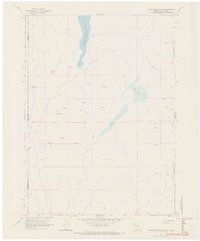
Editions of this 1966 Carter Reservoir Map
3 editions found
Other maps of this area

1886 · Alturas
USGS Topo · 1:250,000

1889 · Long Valley
USGS Topo · 1:250,000

1892 · Alturas
USGS Topo · 1:250,000

1954 · Vya
USGS Topo · 1:250,000

1954 · Alturas
USGS Topo · 1:250,000

1958 · Alturas
USGS Topo · 1:250,000

1958 · Vya
USGS Topo · 1:250,000

1962 · Alturas
USGS Topo · 1:250,000

1962 · Vya
USGS Topo · 1:250,000

1962 · Cedarville
USGS Topo · 1:62,500