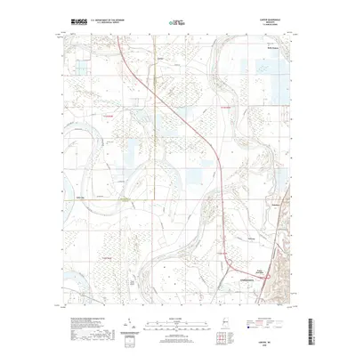
2020 Map of Carter
USGS Topo · Published 2020About this map
The Yazoo River defines the landscape of this Mississippi Delta region, winding through a complex network of levees and wetlands between Yazoo City and the Humphreys Co line. This modern survey illustrates the enduring agricultural and riverine character of the area, where small settlements like Belle Prairie and Carter are connected by a grid of rural roads such as 5 Mile Rd and Carter Rd. The transition from the alluvial plain to the urban fringe is visible at Yazoo Junction, where industrial and transit lines converge near the Yazoo County Airport.
Find a feature on this map
48 named features on this map. Tap any name to fly to it.
Don’t see what you’re looking for? This feature index may not catch every label — zoom into the map to look around manually.
Map Details
Editions of this 2020 Carter Map
This is the sole edition of this map. No revisions or reprints were ever made.
Other maps of this area

1940 · Auter
USGS Topo · 1:62,500

1940 · Mileston
USGS Topo · 1:62,500

1953 · Greenwood
USGS Topo · 1:250,000

1954 · Mileston
USGS Topo · 1:62,500

1955 · Jackson
USGS Topo · 1:250,000

1956 · Greenwood
USGS Topo · 1:250,000

1961 · Jackson
USGS Topo · 1:250,000

1961 · Bayland
USGS Topo · 1:62,500

1961 · Valley
USGS Topo · 1:62,500

1962 · Jackson
USGS Topo · 1:250,000