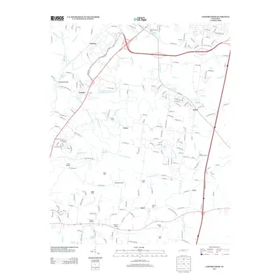
2013 Map of Carters Creek
USGS Topo · Published 2013About this map
The Tennessee Orphans Home and its adjacent Orphans Home Lake sit at the northern edge of this Maury County landscape, marking a significant local institutional landmark in the early 21st century. The terrain is defined by a dense network of creek branches, including Rutherford Cr, Johnson Br, and McCutcheon Cr, which carve through a series of named elevations such as Hicks Hill and the Rutherford Hills.
Find a feature on this map
197 named features on this map. Tap any name to fly to it.
Don’t see what you’re looking for? This feature index may not catch every label — zoom into the map to look around manually.
Map Details
Editions of this 2013 Carters Creek Map
This is the sole edition of this map. No revisions or reprints were ever made.
Other maps of this area

1901 · Colombia
USGS Topo · 1:125,000

1909 · Franklin
USGS Topo · 1:62,500

1936 · Godwin
USGS Topo · 1:24,000

1936 · Verona
USGS Topo · 1:24,000

1936 · Rally Hill
USGS Topo · 1:24,000

1936 · Spring Hill
USGS Topo · 1:24,000

1936 · Theta
USGS Topo · 1:24,000

1936 · Carters Creek
USGS Topo · 1:24,000

1936 · Glendale
USGS Topo · 1:24,000

1936 · Columbia
USGS Topo · 1:24,000