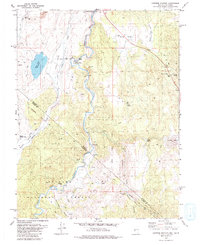
1979 Map of Carters Station
USGS Topo · Published 1980About this map
The East Fork Carson River carves a deep path through this high-desert landscape on the border of Nevada and California. The 1970s terrain is marked by tribal heritage and early cattle ranching history, centered on the Washoe Indian Res (Dresslerville Colony) and the Washoe Cem in the northwest. Local landmarks such as Carters Station and the River Ranch follow the valley floor, while the surrounding flats like Bodie Flat and Cedar Flat provide a glimpse into the open-range character of Douglas County before modern development intensified.
Find a feature on this map
37 named features on this map. Tap any name to fly to it.
Don’t see what you’re looking for? This feature index may not catch every label — zoom into the map to look around manually.
Map Details
Editions of this 1979 Carters Station Map
2 editions found
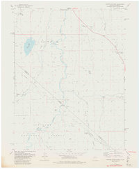
Other maps of this area

1889 · Markleeville
USGS Topo · 1:125,000

1891 · Markleeville
USGS Topo · 1:125,000

1893 · Markleeville
USGS Topo · 1:125,000

1948 · Walker Lake
USGS Topo · 1:250,000

1956 · Freel Peak
USGS Topo · 1:62,500

1956 · Topaz Lake
USGS Topo · 1:62,500

1956 · Markleeville
USGS Topo · 1:62,500

1957 · Walker Lake
USGS Topo · 1:250,000
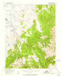
1957 · Mt. Siegel
USGS Topo · 1:62,500

1962 · Walker Lake
USGS Topo · 1:250,000