
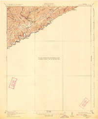
1918 Map of Carterton
USGS Topo · Published 1918About this map
The Clinch River carves a deep path through the coal-rich mountains of Russell County, dictating the development of early 20th-century settlements and infrastructure. Following the river's southern bank, the Norfolk and Western railway links industrial nodes like Clinchfield and Cleveland with smaller rail stops such as Artrip and Carterton. The rugged topography north of the river is defined by ridges like Buffalo Mountain and the distinct lowlands of Sinkhole Valley, where isolation shaped community life.
Find a feature on this map
28 named features on this map. Tap any name to fly to it.
Don’t see what you’re looking for? This feature index may not catch every label — zoom into the map to look around manually.
Map Details
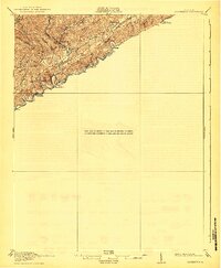
Editions of this 1918 Carterton Map
3 editions found
Other maps of this area

1886 · Grundy
USGS Topo · 1:125,000

1890 · Grundy
USGS Topo · 1:125,000

1891 · Tazewell
USGS Topo · 1:125,000

1891 · Abingdon
USGS Topo · 1:125,000

1892 · Grundy
USGS Topo · 1:125,000

1894 · Abingdon
USGS Topo · 1:125,000

1895 · Tazewell
USGS Topo · 1:125,000

1897 · Tazewell
USGS Topo · 1:125,000

1897 · Bristol
USGS Topo · 1:125,000

1902 · Bristol
USGS Topo · 1:125,000