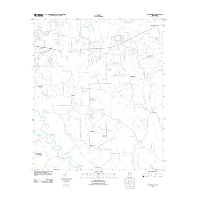
2012 Map of Carterville
USGS Topo · Published 2012About this map
The Leaf River winds through the southwestern corner of this Forrest County landscape, a region defined by scattered residential clusters and small rural communities. Settlements like Carterville, Sunrise, and Eastside are connected by a network of local roads such as Old Hwy 24 and Old Corinth Rd. The terrain is shaped by numerous waterways, including the broad Lotts Cr and Wedgeworth Lake, which sit adjacent to the Hattiesburg Bobby L Chain Municipal Airport. Genealogists may find interest in Grant Cem and Hillcrest Cem, while names like Four Points and Goodluck mark specific local crossroads. The map documents a transition between suburban expansion near the airport and the more established rural pockets like Corinth and Indian Springs, where smaller creeks like Thomas Cr and Carter Br feed into the regional drainage system.
Find a feature on this map
169 named features on this map. Tap any name to fly to it.
Don’t see what you’re looking for? This feature index may not catch every label — zoom into the map to look around manually.
Map Details
Editions of this 2012 Carterville Map
This is the sole edition of this map. No revisions or reprints were ever made.
Other maps of this area

1947 · New Augusta
USGS Topo · 1:62,500

1949 · New Augusta
USGS Topo · 1:62,500

1953 · Hattiesburg
USGS Topo · 1:250,000

1958 · Hattiesburg
USGS Topo · 1:250,000

1963 · Barrontown
USGS Topo · 1:24,000

1964 · Carterville
USGS Topo · 1:24,000

1964 · Ovett SE
USGS Topo · 1:24,000

1964 · Ovett
USGS Topo · 1:24,000

1964 · Hattiesburg
USGS Topo · 1:24,000

1965 · Dixie
USGS Topo · 1:24,000