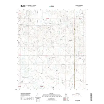
2018 Map of Carterville
USGS Topo · Published 2018About this map
The Leaf River meanders through the heart of this landscape, shaping the development of Hattiesburg and Petal in the pine forests of South Mississippi. This area serves as a significant transit corridor where the local economy and community growth are anchored by the Hattiesburg Bobby L Chain Municipal Airport and a network of arterial roads. Smaller communities like Carterville, Sunrise, and Pine Grove are interspersed between numerous water bodies, including Aldrich Lake and Owens Bluff Lake, illustrating the region's relationship with its riverine environment.
Find a feature on this map
167 named features on this map. Tap any name to fly to it.
Don’t see what you’re looking for? This feature index may not catch every label — zoom into the map to look around manually.
Map Details
Editions of this 2018 Carterville Map
This is the sole edition of this map. No revisions or reprints were ever made.
Other maps of this area

1947 · New Augusta
USGS Topo · 1:62,500

1949 · New Augusta
USGS Topo · 1:62,500

1953 · Hattiesburg
USGS Topo · 1:250,000

1958 · Hattiesburg
USGS Topo · 1:250,000

1963 · Barrontown
USGS Topo · 1:24,000

1964 · Carterville
USGS Topo · 1:24,000

1964 · Ovett SE
USGS Topo · 1:24,000

1964 · Ovett
USGS Topo · 1:24,000

1964 · Hattiesburg
USGS Topo · 1:24,000

1965 · Dixie
USGS Topo · 1:24,000