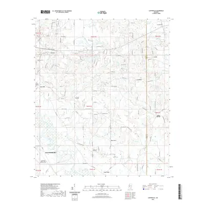
2020 Map of Carterville
USGS Topo · Published 2020About this map
The Leaf River flows through this 2020 landscape, anchoring the eastern fringes of Hattiesburg and the neighboring city of Petal. This contemporary map details a transitional region where the urban grid gives way to a network of smaller communities like Sunrise, Carterville, and Goodluck. The presence of Hattiesburg Bobby L Chain Municipal Airport south of Sims Lake reflects the modern infrastructure of the Pine Belt. Researchers interested in local genealogy will find several burial sites preserved amidst the residential and timbered lands, including Hillcrest Cem and the Forrest Memorial Gardens. The map also traces intricate water systems like Lotts Creek and Wedgeworth Cr, illustrating the dense drainage patterns that have historically shaped settlement in Forrest County.
Find a feature on this map
143 named features on this map. Tap any name to fly to it.
Don’t see what you’re looking for? This feature index may not catch every label — zoom into the map to look around manually.
Map Details
Editions of this 2020 Carterville Map
This is the sole edition of this map. No revisions or reprints were ever made.
Other maps of this area

1947 · New Augusta
USGS Topo · 1:62,500

1949 · New Augusta
USGS Topo · 1:62,500

1953 · Hattiesburg
USGS Topo · 1:250,000

1958 · Hattiesburg
USGS Topo · 1:250,000

1963 · Barrontown
USGS Topo · 1:24,000

1964 · Carterville
USGS Topo · 1:24,000

1964 · Ovett SE
USGS Topo · 1:24,000

1964 · Ovett
USGS Topo · 1:24,000

1964 · Hattiesburg
USGS Topo · 1:24,000

1965 · Dixie
USGS Topo · 1:24,000