
1984 Map of Carthage
USGS Topo · Published 1984About this map
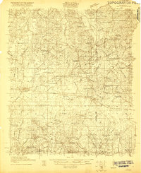
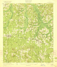
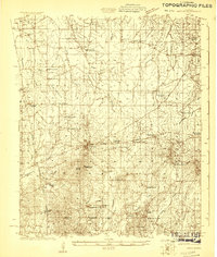
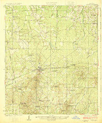
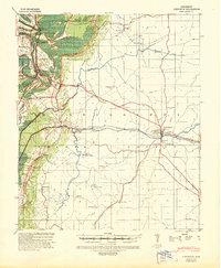
The Choctaw Indian Reservation and the sprawling Bienville National Forest anchor this mid-1980s view of central Mississippi. This landscape is defined by the winding course of the Pearl River and its numerous tributaries, including Lobutcha Creek and Kentawka Creek. The historic Natchez Trace Parkway cuts across the western portion of the region, passing through the Government Hills and near settlements like Thomastown.
Find a feature on this map
145 named features on this map. Tap any name to fly to it.
Don’t see what you’re looking for? This feature index may not catch every label — zoom into the map to look around manually.
Map Details
Editions of this 1984 Carthage Map
This is the sole edition of this map. No revisions or reprints were ever made.
Other maps of this area

1903 · Jackson
USGS Topo · 1:125,000

1905 · Jackson
USGS Topo · 1:48,000

1908 · Jackson
USGS Topo · 1:62,500
1921 · Forest
USGS Topo · 1:48,000
1922 · Forest
USGS Topo · 1:62,500
1922 · Morton
USGS Topo · 1:48,000

1922 · Pelahatchee
USGS Topo · 1:48,000

1924 · Pelahatchee
USGS Topo · 1:62,500
1924 · Morton
USGS Topo · 1:62,500
1940 · Lexington
USGS Topo · 1:62,500