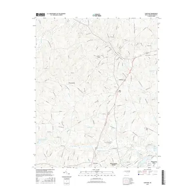
2016 Map of Carthage
USGS Topo · Published 2016About this map
Carthage sits at the center of this Moore County landscape, serving as a hub for local routes like White Oak Rd and Bethlehem Church Rd. The area's transition from rural crossroads to residential growth is evident in the cluster of settlements including Pleasantville, Hill Crest, and Eastwood, which lead toward the more developed outskirts of Southern Pines and Whispering Pines to the south.
Find a feature on this map
137 named features on this map. Tap any name to fly to it.
Don’t see what you’re looking for? This feature index may not catch every label — zoom into the map to look around manually.
Map Details
Editions of this 2016 Carthage Map
This is the sole edition of this map. No revisions or reprints were ever made.
Other maps of this area

1942 · Troy
USGS Topo · 1:125,000

1948 · Southern Pines
USGS Topo · 1:62,500

1949 · West End
USGS Topo · 1:24,000

1949 · Jackson Springs
USGS Topo · 1:62,500

1950 · Niagara
USGS Topo · 1:24,000

1950 · Southern Pines
USGS Topo · 1:24,000

1953 · Raleigh
USGS Topo · 1:250,000

1954 · Raleigh
USGS Topo · 1:250,000

1957 · Southern Pines
USGS Topo · 1:62,500
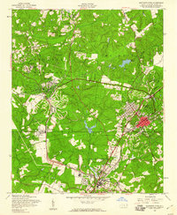
1957 · Southern Pines
USGS Topo · 1:24,000