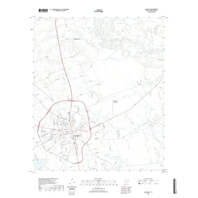
2019 Map of Carthage
USGS Topo · Published 2019About this map
Carthage serves as the regional anchor of this Panola County landscape, where the urban grid meets an intricate network of waterways. The northern reach of the survey is dominated by the Sabine River, which creates a complex hydrological system of oxbows and wetlands including Horseshoe Lake, The Basin, and numerous sloughs like Bean Lake Slough. This fluvial environment stands in contrast to the developed corridors around the city, characterized by a dense web of county roads and local streets.
Find a feature on this map
124 named features on this map. Tap any name to fly to it.
Don’t see what you’re looking for? This feature index may not catch every label — zoom into the map to look around manually.
Map Details
Editions of this 2019 Carthage Map
This is the sole edition of this map. No revisions or reprints were ever made.
Other maps of this area

1943 · Waskom
USGS Topo · 1:62,500

1945 · Waskom
USGS Topo · 1:62,500

1945 · Socagee Bayou
USGS Topo · 1:62,500

1956 · Tyler
USGS Topo · 1:250,000

1956 · Deadwood
USGS Topo · 1:62,500

1958 · Darco
USGS Topo · 1:62,500

1958 · Carthage
USGS Topo · 1:62,500

1962 · De Berry
USGS Topo · 1:24,000

1983 · Grand Bluff
USGS Topo · 1:24,000

1983 · Harris Chapel
USGS Topo · 1:24,000