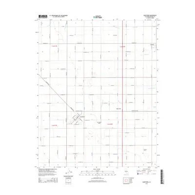
2015 Map of Caruthers
USGS Topo · Published 2015About this map
Caruthers serves as the primary hub of this agricultural corridor, where a precise grid of county roads defines the surrounding San Joaquin Valley landscape. The intricate network of irrigation infrastructure is the most striking element of the survey, with named waterways like the Harlan Stevens Ditch, Wristen Canal, and Kohler Ditch crisscrossing the terrain to support the region's farms. These channels dictate the layout of the land, running alongside roads and through small settlements such as Bowles and Elm View. Local landmarks like the Al Divine Airport and Prather Pond provide specific points of interest within the vast system of orchards and fields. The map captures the organized efficiency of Central Valley water management and rural settlement patterns in the early 21st century.
Find a feature on this map
106 named features on this map. Tap any name to fly to it.
Don’t see what you’re looking for? This feature index may not catch every label — zoom into the map to look around manually.
Map Details
Editions of this 2015 Caruthers Map
This is the sole edition of this map. No revisions or reprints were ever made.
Other maps of this area

1923 · Kearney Park
USGS Topo · 1:31,680

1923 · Malaga
USGS Topo · 1:31,680

1923 · Fresno
USGS Topo · 1:31,680

1924 · Riverdale
USGS Topo · 1:31,680

1924 · Conejo
USGS Topo · 1:31,680

1925 · Raisin
USGS Topo · 1:31,680

1925 · Caruthers
USGS Topo · 1:31,680

1927 · Laton
USGS Topo · 1:31,680

1927 · Burrel
USGS Topo · 1:31,680

1927 · Riverdale
USGS Topo · 1:31,680