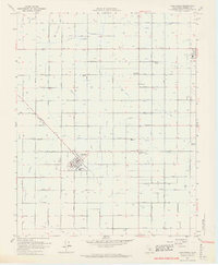
1963 Map of Caruthers
USGS Topo · Published 1964About this map
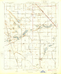
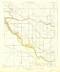
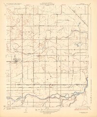
The town of Caruthers serves as the focal point for this mid-century topographic portrait of Fresno County agriculture. Established at the intersection of Caruthers Ave and Mountain View Ave, the community is surrounded by a dense network of irrigation infrastructure essential to the San Joaquin Valley. Water management is visibly prioritized through the Lampee Canal, Wristen Canal, and several family-named irrigation lines like the Rose Stevens Ditch.
Find a feature on this map
55 named features on this map. Tap any name to fly to it.
Don’t see what you’re looking for? This feature index may not catch every label — zoom into the map to look around manually.
Map Details
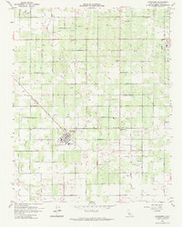
Editions of this 1963 Caruthers Map
2 editions found
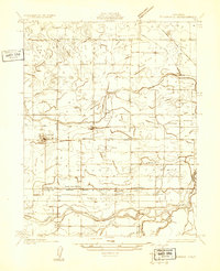
Other maps of this area

1923 · Kearney Park
USGS Topo · 1:31,680

1923 · Malaga
USGS Topo · 1:31,680
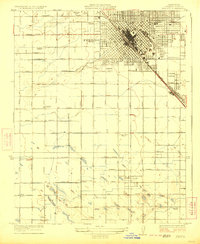
1923 · Fresno
USGS Topo · 1:31,680
1924 · Riverdale
USGS Topo · 1:31,680
1924 · Conejo
USGS Topo · 1:31,680
1925 · Raisin
USGS Topo · 1:31,680
1925 · Caruthers
USGS Topo · 1:31,680
1927 · Laton
USGS Topo · 1:31,680
1927 · Burrel
USGS Topo · 1:31,680
1927 · Riverdale
USGS Topo · 1:31,680